

Anerley & Penge 1868 Kent Sheet 7.14 by Alan Godfrey
USD 4.95 USD
Specifications
| Type | Street Map/Directory |
| Author | Alan Godfrey |
| Publisher | Alan Godfrey Maps |
| Topic | Local History |
| Subject | History |
| Country Of Origin | United Kingdom |
| ISBN | 9780850544718 |
This detailed and early Ordnance Survey map covers the southern part of Penge, together with the area now known as Anerley. To the west it also includes portions of Upper and Lower Norwood. Elsewhere the picture is of villas with leafy gardens but with more modest surburban expansion at the north of the map.
Related Items
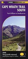
Cape Wrath Trail South by Harvey Map Services Ltd. (Sheet map, folded)

Kennington and Walworth 1871: London Sheet… by Godfrey, Alan Sheet map, folded
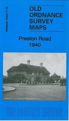
Preston Road 1940 Middlesex Sheet 11.09 by Pamela Taylor
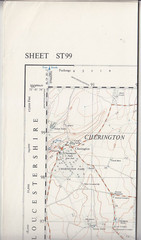
Ordnance Survey 1:25,000 First Series Map Sheet ST 99 Kemble
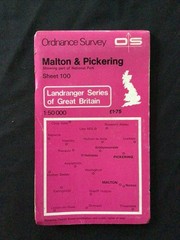
MAP – Ordnance Survey 1:50 2nd Series 1980 -Malton & Pickering #100 (8715)

Amazing Cond IMRAY Folding Map C48 LA CORUNA TO PORTO (Spain & Portugal)

8 x OS MAPS JOB LOT Ordnance Survey (D5)
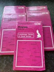
5 x Ordnance Survey Landranger Maps Chester, Buxton & Matlock Mansfield