

Aspull (South) 1928 Lancashire Sheet 94.01 by Alan Godfrey
USD 4.78 USD
Specifications
| Type | Street Map/Directory |
| Author | Alan Godfrey |
| Publisher | Alan Godfrey Maps |
| Topic | Local History |
| Subject | History |
| Country Of Origin | United Kingdom |
| ISBN | 9781847844675 |
This highly detailed map covers the southern part of Aspull, now part of Wigan borough. Coverage stretches from Top Lock northward to the Crawford Pits, and eastward to Gidlow Hall.
Related Items

BARTHOLOMEWS 1/2″ CONTOURED DISSECTED CLOTH SHEET 33 S.YORKS & HUMBER 1952

Hastings OS Ordnance Survey One Inch Map Sheet 184 1969

Sidcup 1908: Kent Sheet 8.11 (Old O… by Barr-Hamilton, Malco Sheet map, folded

Ordnance Survey Pathfinder map sheet 1120 (TL 20/30) Hatfield & Cheshunt – 1982

Vintage Geographia Map of LONDON 4.2 Inch to 1 Mile 1:15,000 1950s? Tube Bus Map
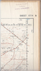
Ordnance Survey 1:25,000 First Series Map Sheet ST 54 Wells Somerset
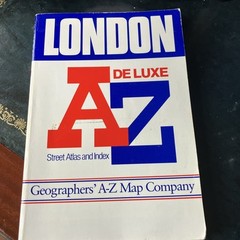
LONDON A-Z DELUXE STREET ATLAS AND INDEX

Historical Atlas Of the United States Centennial Edition 1988 First Edition