
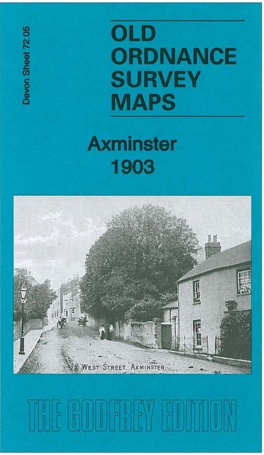
Axminster 1903 Devon Sheet 72.05 by Richard Oliver
USD 5.03 USD
Specifications
| Type | Street Map/Directory |
| Author | Richard Oliver |
| Publisher | Alan Godfrey Maps |
| Topic | Local History |
| Subject | History |
| Country Of Origin | United Kingdom |
| ISBN | 9781847845511 |
This detailed map gives good coverage of Axminster and the area westward to Yarty Bridge and Gammons Hill. Features include the town centre with individual buildings neatly depicted, railway with station and goods shed, Workhouse, St Mary's church, banks, corn mill, Willhay Farm, Hilary House (at east edge of map), Castle Hill Farm, River Yarty, Hunthay Farm etc. On the reverse we include a 1906 directory of Axminster.
Related Items

Vintage Map – Bartholomew – Cork-Killarney, Ireland – 1966
Hulme: St George’s 1849: Manchester Sheet 37 (Old Ordnance Survey Maps of Manche
MAP – Ordnance Survey 1:50 2nd Series 1980 -Malton & Pickering #100 (8715)
Greenland Narsarsuaq: South Greenland Hiking Map No. 01 (1:100 000)
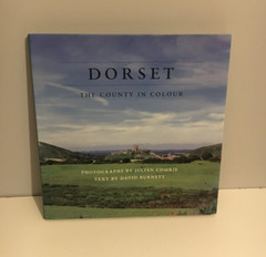
Dorset: The County in Colour, Julian Comrie/ David Burnett. 1ST DOUBLE SIGNED.

Ordnance Survey Explorer Map 102: Land’s End inc. Penzance and St Ives (2007).

Ordnance Survey. The Cotswolds Touring Map & Guide 8. 1 inch to 1 mile
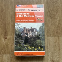
Ordnance Survey Explorer 1:25,000 Sheet 148 Dover, Maidstone & the Medway 2000