
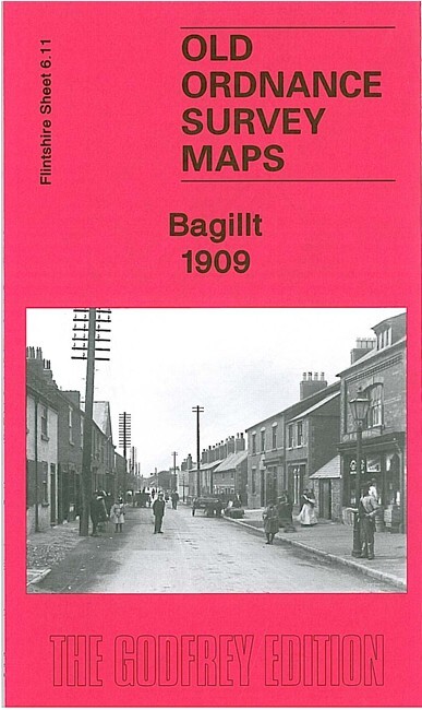
Bagillt 1909 Flintshire Sheet 6.11 by Derrick Pratt
USD 4.73 USD
Specifications
| Type | Street Map/Directory |
| Author | Derrick Pratt |
| Publisher | Alan Godfrey Maps |
| Topic | Local History |
| Subject | History |
| Country Of Origin | United Kingdom |
| ISBN | 9781847843890 |
This very detailed map is double-sided for maximum coverage. The main map covers most of Bagillt, stretching along the main road, with coverage stretching from Dee Bank and Pentre-Bach SE to St Mary's church. Features include Pentre Bagillt area, Pentre-Isaf area, St Mary's church, railway with station, Bettisfield Colliery with railway sidings, Lead & Blende Dressing Sheds, Lead and Iron Works, Down Hill area, Merllyn, saltings, Panton Cop with disused tramway, etc. On the reverse we include part of adjacent sheet 6.10 extending coverage westward to include Boot, Wal-wen, New Brighton, Whelston, Twll Farm.
Related Items
Morden 1894 Surrey Sheet 13.03 by Pamela Taylor
OS Ordnance Survey Landranger Map 100 – MALTON & PICKERING – 1979

Bartholomew’s Map Teesdale Middlesbrough 50s 1959 Paper Half Inch Free Post UK
Vintage Batholomew’s South Devon Cloth Map c1920s Half Inch To Mile Sheet 36
Cambridge (East) incl Romsey Town 1925 Cambridgeshire Sheet 47.03 by Tony Kirby

SALISBURY to The NEW FOREST Cycling Map. WILTSHIRE CYCLE WAY. 14.7 miles.
StocktononTees and Thornaby 1897 Durham Sheet 5016 Old by Robert Woodhouse
MAP OF Grays Thurrock 1916 Essex Sheet 95.06 by Tony Kirby NEW 9781787215443