
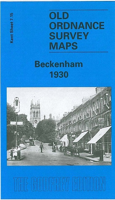
Beckenham 1930 Kent Sheet 7.15 by Alan Godfrey
USD 5.02 USD
Specifications
| Date | 1930 |
| Type | Street Map/Directory |
| Author | Alan Godfrey |
| Publisher | Alan Godfrey Maps |
| Topic | Local History |
| Subject | History |
| Country Of Origin | United Kingdom |
The Kent series maps are centred on the village - and later town - centre of Beckenham. The earliest map was surveyed in 1861 but was updated to 1871 to include railways. Features include Coperscope, Beckenham station (still with an overall roof), and the map stretches as far as New Beckenham Junction to the north. Westward the map stretches to the boundary with Penge, eastward it reaches Foxgrove. This is an attractive map of Beckenham as development was just beginning. This map showing it in 1930 provides a fascinating illustration of how the village developed into a town. The map links up with Kent Sheets 7.14 Anerley & Penge to the west and 7.16 Bromley to the east.
Related Items

Collins Britain Essential Road Atlas 2016 (Hardback)

1975 Bartholomew National Map Series 1:100 000 – Sussex Sheet 6

Vintage 1930s Ordnance Survey 1 Inch Contoured Road Map Of Chester

Ordnance Survey Northern IreIand SOUTH DOWN ~ 3rd Series Sheet 9 Cloth ~ 1966

NOTTINGHAM – Large scale detailed street plan

Vintage Bartholomew’s 1:100 000 National Series No. 26 NORFOLK

Central Scotland by Ordnance Survey (Sheet map, flat)

Historic Ordnance Survey Map Sheet 187 1:50 000 1974 1st Series Dorking Reigate