
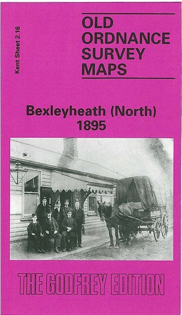
Bexleyheath (North) 1895 Kent Sheet 2.16 by Len Reilly
USD 5.00 USD
Specifications
| Type | Street Map/Directory |
| Author | Len Reilly |
| Publisher | Alan Godfrey Maps |
| Topic | Local History |
| Subject | History |
| Country Of Origin | United Kingdom |
| ISBN | 9780850546293 |
This highly detailed map covers what was still a largely rural area. The Bexleyheath Railway, completed only in 1895, runs west-east across the lower part of the map, with Bexleyheath station towards the SW corner. Past it Pickford Lane runs north-south, later joining Long Lane, but both are still country roads. To the east are Crooked Wood, Bursted Wood, a few houses of Northumberland Heath, the Travellers Rest pub, an isolation hospital, and some orchards. But development was about to begin. We also include a directory.
Related Items

Geographia Road Touring Map England & Wales Cornwall Devon Somerset Cloth Backed
Geographia Clearway Mileage Map Of London And South-East England Sheet 1

Bartholomew’s Map Teesdale Middlesbrough 50s 1959 Paper Half Inch Free Post UK

PRESTEIGNE & HAY-ON-WYE CASSINI HISTORICAL MAP. 1919-1920.

Joblot Assorted Maps, Guides: Stamford, Lake District, Peterborough etc

Bacon’s Large Scale Folding Map and Guide to North Wales, on Cloth c. 1891

Marvellous Maps Pick N Mix Great British Box Set x5 Strumpshaw Tintleton & Giggl

VINTAGE GEOLOGICAL MAP LINNEY HEAD PEMBOKESHIRE SHEET 244 GEOLOGICAL SURVEY 1921