

Birmingham (South) 1888 or 1913 Warwickshire Sheet 14.09
USD 4.70 USD
Specifications
| Date | 1888 |
| Type | Street Map/Directory |
| Publisher | Alan Godfrey Maps |
| Topic | Local History |
| Subject | History |
| Country Of Origin | United Kingdom |
We have published 2 versions of this detailed and busy map, showing how the area changed across the years. Each covers the southern part of Birmingham, including much of Balsall Heath, the western part of Sparkbrook and the eastern part of Edgbaston.
Related Items

Vintage Ordnance Survey Eastbourne Sheet 183 One-Inch Map Cloth Edition 1940

Ordnance Survey Vintage Cloth Map 1952 50s Eastbourne Lewes Bexhill Free Post UK

Southport (North) 1892 by Kay Parrott Sheet map, folded Book The Fast Free
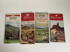
Esso England Road Maps x4 Folding Vintage 1960s 1970s
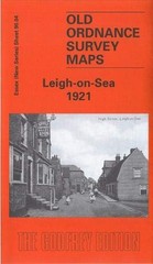
Ian Yearsley Leigh-on-Sea 1921 (Map) Old Ordnance Survey Maps of Essex

OS Ordnance Survey 1″ Seventh Series – 188 Torquay – 1964 paper edition

Admiralty Chart 2820 – Pointe de Penmarc’h Sheet
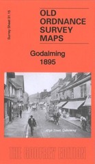
Godalming 1895 Surrey Sheet 31.15 by Alan Godfrey