
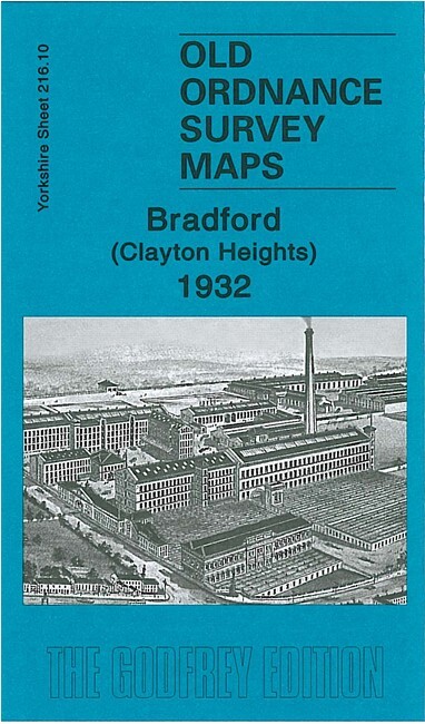
Bradford (Clayton Heights) 1932 Yorkshire Sheet 216.10 by John Hargreaves
USD 5.04 USD
Specifications
| Type | Street Map/Directory |
| Author | John Hargreaves |
| Publisher | Alan Godfrey Maps |
| Topic | Local History |
| Subject | History |
| Country Of Origin | United Kingdom |
| ISBN | 9781847843548 |
This detailed map covers the area around Clayton Heights, west of Bradford, with coverage stretching from the Black Dyke Mills (SW corner of map) eastward to Horton Bank Reservoir and northward to Oakleigh Road. Features include part of Black Dyke Mills, Queensbury station with famous railway triangle, Poor Law Institution, Brayshaw Reservoir, Horton Bank Reservoir, Old Dolphin area, tramway, Westwood Institution, Scarlet Heights area, Sheep Hill, Lane End area etc. On the reverse we include a commercial directory for Queensbury, plus street directory entries for Clayton Lane, Highgate Road, Oakleigh Road and Pasture Lane.
Related Items

Assorted OS maps – one map per order

Lake District (The Lake District), Ordnance Survey Tourist map 3
Abergavenny & The Black Mountains OS Landranger Map Sheet 161 1979

LONDON A-Z STREET ATLAS

Getting Started – Brochure – Caravan Club

EASTBOURNE No 183 1969 39564 One Inch Ordnance Survey Map

OS Ordnance Survey 1″ Touring Map 8 – The Cotswolds – 1985 edition

1982 Renault Dealer Large Road Map of Great Britain / Poster