
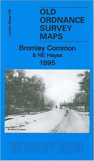
Bromley Common & NE Hayes 1895 London Sheet 156
USD 5.02 USD
Specifications
| Type | Street Map/Directory |
| Author | Pamela Taylor |
| Publisher | Alan Godfrey Maps |
| Topic | Local History |
| Subject | History |
| Country Of Origin | United Kingdom |
| ISBN | 9781847847317 |
This detailed map covers the Bromley Common area south of Bromley. Coverage stretches from Walpole Road southward to St Mary's church, Hayes. Features include Trinity church, Barham House, Cooper's Farm, Turpington Farm, The Rookery, Hook Farm, Oakley House,St Mary's church Hayes, Hayes Place. Extracts from a 1905 directory of Kent are included on the reverse.
Related Items

Atlas of European History 1959 Third Printing Hardcover Edited by Edward W. Fox
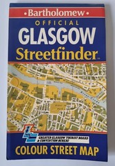
Vintage 1991 Official Glasgow Streetfinder Colour Papwr Fold Up Bartholomew Map
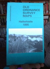
MAP OF HALTWHISLTE 1895 NORTHUMBERLAND SHEET 92.05 NEW 9781787219564

MAP OF Swansea 1897 Glamorgan Sheet 24.05 NEW 9781847847010
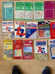
23 x Maps & Ordinance Survey UK | London | Paris / France | Surrey Road Atlas AZ
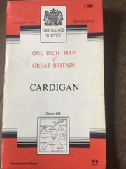
Vintage OS Ordnance Survey 1″ map – Sheet 139 Cardigan, 1967 edition
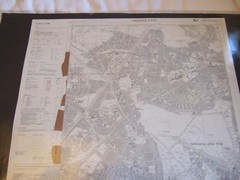
Ordnance Survey (OS) 1:10 000 Original Sheet Map, TYNE AND WEAR NZ 26 NW, 1993
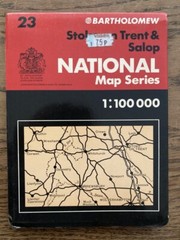
Bartholomew National Map Series 1:100 000 Stoke on Trent & Salop 23