
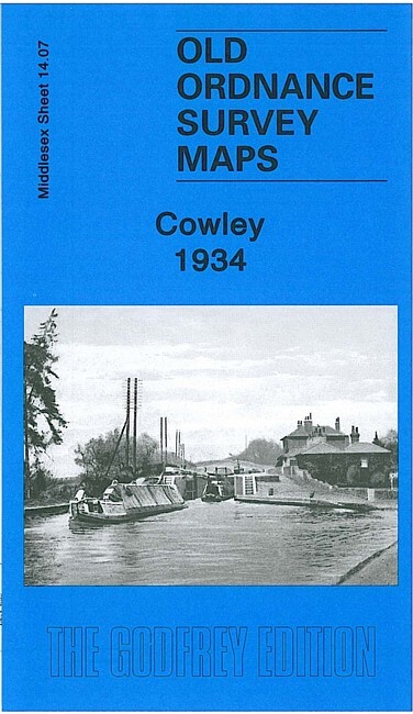
Cowley 1934 Middlesex Sheet 14.07 by Peter Hounsell
USD 5.00 USD
Specifications
| Type | Street Map/Directory |
| Author | Peter Hounsell |
| Publisher | Alan Godfrey Maps |
| Topic | Local History |
| Subject | History |
| Country Of Origin | United Kingdom |
| ISBN | 9781847843340 |
This detailed map covers the Middlesex village of Cowley, just south of Uxbridge. Please note that the Buckinghamshire area of the map is left blank. Coverage stretches from Queen's Road southward to Cowley Crescent, and from the GWR railway westward to the county boundary. Features include Neptune Works, Grand Union Canal, Yiewsley Mill House, Old Mill House, Clisby's Bridge, Cowley House, GWR branch with Cowley station, Cowley Grove, Shovel Inn. On the reverse we include directories for Cowley in 1890 and 1933.
Related Items

Sheffield (Longley) 1902 Yorkshire Sheet 288.16 by Sylvia Pybus

OS Ordnance Survey Landranger Map 201 – 1974 1st Series PLYMOUTH and LAUNCESTON

Kidderminster and Wyre Forest by Ordnance Survey (Sheet map, folded)

Thetford (North) or (South) 1903 Norfolk Sheets 102.08 or 102.12
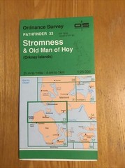
1994 Ordnance Survey Pathfinder Map 33 HY10/20 Stromness And Old Man Of Hoy

Ordnance Survey Map Job Lot

OS Landranger Scotland sheet 71 Lanark & Upper Nithsdale 1976 Laminated map, VGC
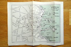
1930s St Peter Port Map – Guernsey – folded paper map from old guide book