

Crieff 1899 Perthshire Sheet 95.11 by Gilbert Bell
USD 4.95 USD
Specifications
| Type | Street Map/Directory |
| Author | Gilbert Bell |
| Publisher | Alan Godfrey Maps |
| Topic | Local History |
| Subject | History |
| Country Of Origin | United Kingdom |
This detailed map of Crieff is double-sided to provide maximum coverage. The main map covers the northern part of the town, with coverage northward to Ferntower. Features include Ardvreck House. Morrison's Academy, West Church, Benachie, Strathearn House Hydropathic, St Michael's church, St Columba's church, Porteous Hall, Taylor's Institution, Callum's Hill, Tomaknock, Colony. The backing map covers part of sheet 95.15, extending coverage southward to include railway with station, Broich, Stayt of Crieff, Duchlage, High Street, James Square, Royal Hotel etc.
Related Items

ordnance survey maps scotland. Islay 57, Coll & Tiree 44, Cuillin Hills
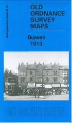
Bulwell 1913 Nottinghamshire Sheet 38.05 by Barrie Trinder

Ordnance Survey 1:25,000 First Series Map Sheet NY 39 Westerkirk

Vintage Sleaford Ordnance Survey Map No 36 reprint 1981 in Envelope Sleeve.
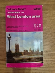
Ordnance Survey Map 1:50 000 – West London

Isle of Wight (Sheet map, folded)

VGC OS Landranger Map (1:50,000) Sheet 90 PENRITH and KESWICK c1974

Ordanance Survey Map Rippon Northallerton Second War Revision 1940 Sheet 21