
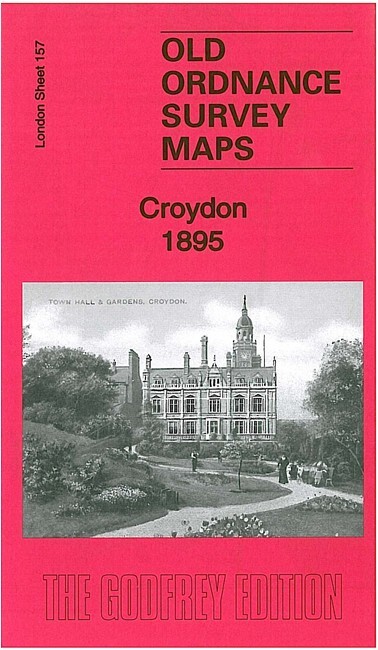
Croydon 1895 London Sheet 157
USD 5.05 USD
Specifications
| Type | Street Map/Directory |
| Author | Richard Oliver |
| Publisher | Alan Godfrey Maps |
| Topic | Local History |
| Subject | History |
| Country Of Origin | United Kingdom |
| ISBN | 9781847847980 |
This detailed map covers much of central Croydon, with coverage stretching from Waddon Mills eastward to Croydon East station, and southward to Bramley Hill. Features include railways with East Croydon station, Waddon station, Town Hall, tramways, The Waldrons, Whitgift Grammar School, town centre with individual buildings neatly shown, Duppas House, Reliance Iron Works, brewery, Waddon Mills with railway, Waddon House, churches etc.
Related Items

THE SOLENT- OS New Popular Edition Paper cir 1946

Mottingham 1861 Kent Sheet 8.05 by John Kennett
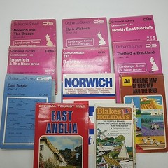
Job Lot Maps X11 – East Anglia -Ordnance Survey, A-Z, AA, Tourist Board etc
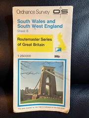
Ordnance Survey, Routemaster Map 8 South West England And South Wales, 1978
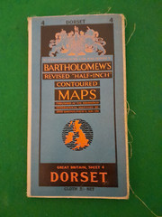
BARTHOLOMEWS CLOTH HALF-INCH CONTOURED MAP DORSET SHEET 4 C 1953

Oxford In Your Pocket, Intermap Pocket Atlas & Guide 1989 Paperback

West Suffolk (Bury & Mildenhall) 1897 One Inch sheet 189 by Robert Malster
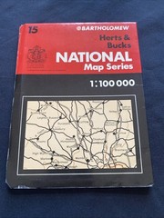
Herts & Bucks Bartholomew National Map 1:100 Scale #15 (1268)