
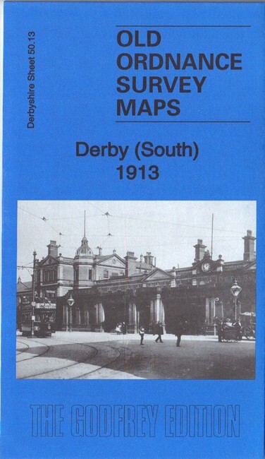
Derby South 1913 Derbyshire sheet 50.13b by Barrie Trinder
USD 4.60 USD
Specifications
| Type | Street Map/Directory |
| Author | Barrie Trinder |
| Publisher | Alan Godfrey Maps |
| Topic | Local History |
| Subject | History |
| ISBN | 9781787212039 |
This map covers the southern part of Derby, with coverage stretching from Macklin Street and East Street southward to Stanhope Street, and from Wood's Lane eastward to Dickinson Street and Deadman's Bridge. Features include the Midland Railway with Midland Station, the Locomotive Works, and part of the Carriage & Wagon Works; West Junction, London Road Junction, Masson Works, Gas Works, Derby Canal, Atlas Foundry, Royal Infirmary, tramways, St James church, Midland Hotel, St Andrew's church, Holy Trinity church, Litchurch Ward, Arboretum, Rose Hill, Temple House, New Normanton Mill, Lead Works, Wilderslowe House, Castlefields Mills, etc.
Related Items

Tony Kirby Elizabeth Baigent An Historical Map of Cambridge (Map)

Annfield Plain 1895 County Durham Sheet 12.09 by John Griffiths

The Lizard 1894 One Inch Sheet 359 by Richard Oliver

Elswick 1894 1913 or 1937 Tyneside Sheet 17

Bournemouth And Poole Geographia large scale street plan

Kirkcudbright 1894 Kirkcudbrightshire Sheet 55.01 by Anthea Lang

PERTH – Large scale street plan (vintage)

Cassini Historical Thetford&Diss Map Set