
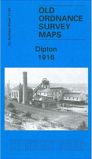
Dipton 1916 County Durham Sheet 11.08 by Alan Godfrey
USD 5.02 USD
Specifications
| Type | Street Map/Directory |
| Author | Alan Godfrey |
| Publisher | Alan Godfrey Maps |
| Topic | Local History |
| Subject | History |
| Country Of Origin | United Kingdom |
| ISBN | 9781847841902 |
This detailed map covers the village of Dipton, historically made up of three parts: Pontop, Collierley and Dipton. Features on our map include South Medomsley Colliery (traditionally called High Stables), Delight Colliery, Dipton Colliery, Pontop Hall, Mary Pit, Coronation Drift, Main Coal Drift, Brass Thill Drift, tramways to the drifts, St John's church, High Collierley, Pontop Quarry, Pontop & Jarrow Railway, Curry's Square, St Patrick's RC church, site of Lily Colliery, Harelaw Quarry, two picture theatres, old pits etc. On the reverse we include directories of Dipton in 1894 and 1906.
Related Items

Vintage 1991 SOLENT & ISLE OF WIGHT Landranger Map 196 Ordnance Survey
Swindon (SW) 1899 or 1922 Wiltshire Sheet 15.07

OS Map Premium Canvas Tote Bag – Snowdonia National Park (General merchandise)

OS Ordnance Survey Explorer maps – various editions in very good condition

Educational Concise Atlas of the World (World Atlas) by DK Hardback Book.

Ward End 1902 Warwickshire Sheet 14.03 by Malcolm Nixon

Vintage – The Wye Valley In Colour – Jarrold Guide 1964 – RARE

Vintage Ordnance Survey Map: SALISBURY & District 1912 Sheet 123 1 mile/1 Inch