

Farnham 1913 Surrey Sheet 30.06 by Alan Godfrey
USD 5.02 USD
Specifications
| Type | Street Map/Directory |
| Author | Alan Godfrey |
| Publisher | Alan Godfrey Maps |
| Topic | Local History |
| Subject | History |
| Country Of Origin | United Kingdom |
| ISBN | 9781847848468 |
This detailed map of Farnham is double-sided for maximum coverage. The main map covers the centre of the town with coverage southward to Searle Road and Cromwell Avenue. Features include railway with station, St Andrew's church, Fir Grove, Vernon House, Weydonhill Farm, Fairfield area, Town Hall, Castle, Emmanuel church, malthouses, Waverley Estate, Culverlands, Hatch Mill, Windsor almshouses, St James's church, schools, banks, etc. On the reverse we include an extract from adjacent sheet 30.02, extending overage northward to include Farnham Park, workhouse, Bourne Mill.
Related Items
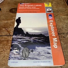
The English Lakes: North Eastern Area (O… by Ordnance Survey Sheet map, folded

AA Road Map Provence & French Riviera (Sheet map, folded)
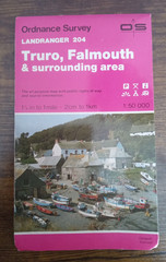
OS Ordnance Survey Landranger Map Sheet 204 Truro & Falmouth 1984. T3

MAP OF Llansamlet 1913 Glamorgan Sheet 15.10 by Steph Mastoris NEW 9781787215467

Maps And Guides Of Norway Job Lot

Cambridgeshire Town Centre Maps – Second revision

Collins world atlas book

OS Ordnance Survey Landranger Maps – Scotland – assorted editions vgc 1976-2000