
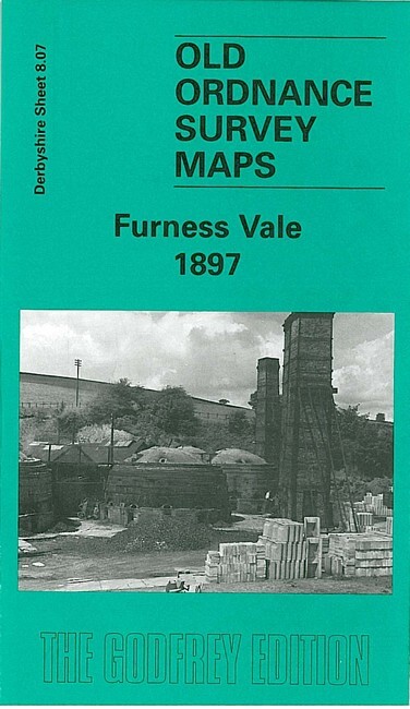
Furness Vale 1897 Derbyshire Sheet 8.07 by Derek Brumyard & George Tomlinson
USD 5.05 USD
Specifications
| Type | Street Map/Directory |
| Publisher | Alan Godfrey Maps |
| Topic | Local History |
| Subject | History |
| Country Of Origin | United Kingdom |
| ISBN | 9781841510842 |
This detailed map covers Furness Vale (in Cheshire) and an area of rural Derbyshire to the east, eastward to Laneside Farm, southward to Bridgemont. Features include Furness Print Works, Yeardsley Hall, Ringstone Pit, Ringstones Chemical Works, Bridgemont, Bottoms Hall, Furness Vale, LNWR railway with station, Gowhole, Midland Railway, Waterside, Lady Pit, Dolly Pit (disused), Cloughhead etc. On the reverse we include a section of the Inch to the Mile map for 1906 for the area.
Related Items

WISBECH & MARCH Street plan with index – by Barnett’s circa 1980’s
3 Maps OS 100 Malton + Pickering, Yorkshire Humberside Tourist Map and Road Maps

Ordnance Survey One-Inch 7th Series Map – Sheet 132- Coventry & Rugby
Vintage LONDON CC Municipal Map 1930 – Southwark, Camberwell, Deptford area

Scratch Off Flags Of The World A2 Size Poster Travel Map Gift – White Landscape

Cornwall (Sheet map, folded)

Ordnance Survey – Seventh Series Map – Eastbourne – 1963 – sheet 183

London Mini Street Atlas (paperback) (A-Z Street Atlas) Geographers A-Z Map Comp