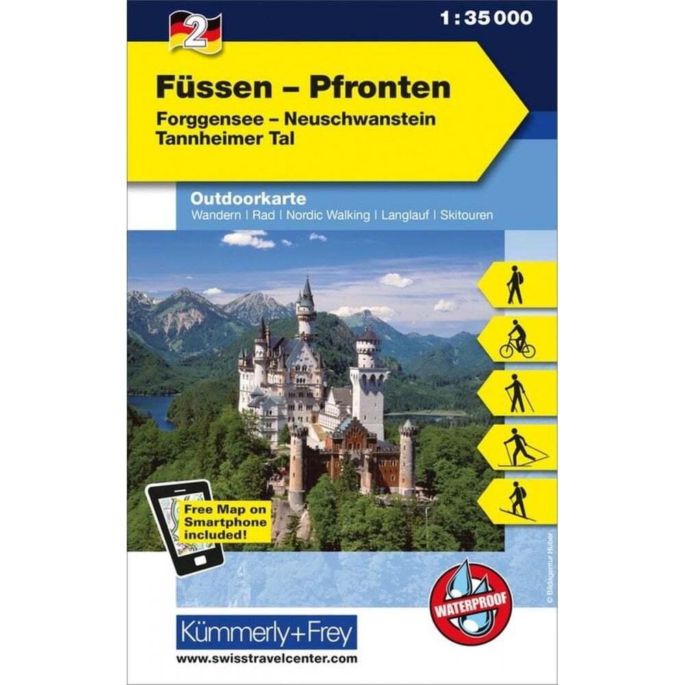

Germany Austria Füssen – Pfronten outdoor map 2 hiking cycling ski touring
Specifications
| Return Postage Will Be Paid By | Buyer |
| Returns Accepted | Returns Accepted |
| After Receiving The Item, Your Buyer Should Cancel The Purchase Within | 30 days |
| Publication Name | Füssen - Pfronten |
| Type | Hiking Map |
| Country | Germany |
| Publication Year | 2021 |
| Region | Europe |
| Format | Folding Map |
| Language | German and English |
| Map Scale | 1:35,000 |
| Country/Region Of Manufacture | Switzerland |
| Item Weight | 0.084kg |
| MPN | Does not apply |
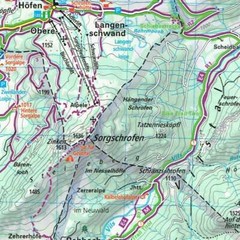
eBay Store Design by Visualsoft Germany Austria Füssen - Pfronten outdoor map 2 hiking cycling ski touring £11.95 | Outdoor map of Germany (and part of Austria) 2: FÜssen - Pfronten, is part of a popular series of double-sided, waterproof and tear resistant maps that cover popular recreational areas of Germany published by KÜmmerly+Frey. Covering the German Austrian Border, this map includes Forggensee, Weissensee, Haldensee, Plansee and GrÜntensee, part of Lechtaler Alpen, Ammergauer Alpen and the Tannheimer group are shown. The map Includes: German towns/villages: Görisried, Wald, Lengenwang, Steingaden, Lechbruck, Oy-Mittelberg, Seeg, Rosshaupten, Trauchgau, Nesselwang, Rieden, Halblech, Brunnen, Pfronten, FÜssen and Schwangau. Austrian towns/villages: Jungholz, Vils, Tannheim, Pflach, Nesselwängle, Reutte, Plansee, Weissenbach am Lech, Forchach and Bichlbach. Ask a Question Description These contoured and relief shaded maps provide a very readable view of the terrain and highlight hiking and cycling routes along with other recreational activities at a scale of either 1:35,000 or 1:50,000. Hiking routes are graded according to difficulty and those with waymarking are highlighted. Locations for other outdoor activities such as climbing, skiing, sailing, surfing, paragliding etc. are marked along with accommodation options (Campsites, alpine huts, youth hostels etc.). Local and long distance cycling routes are marked along with a selection of mountain bike trails. The reverse of each map also provides a road map of the region around the area covered by it. Map legend includes English. Every map also comes with a free digital version for your smartphone (Instructions and the access code is printed on the paper map) eBay Store Design by Visualsoft
Related Items