
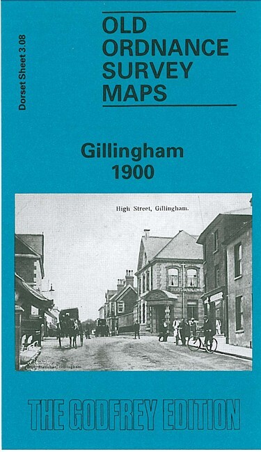
Gillingham 1900 Dorset Sheet 3.08 by Alan Godfrey
USD 5.04 USD
Specifications
| Type | Street Map/Directory |
| Author | Alan Godfrey |
| Publisher | Alan Godfrey Maps |
| Topic | Local History |
| Subject | History |
| Country Of Origin | United Kingdom |
| ISBN | 9780850543131 |
This detailed map covers the town of Gillingham, which stands at the north of the Blackmore Vale. The map is double-sided to provide maximum coverage. The main map covers the area from St Mary's church and the town centre southward to Madjeston Bridge and eastward to Ham Common, Higher Ham Farm and the site of King's Court Palace.
Related Items

Isle of Wight (Sheet map, folded)
MAP OF City of Salisbury 1900 WILTSHIRE SHEET 66.15 NEW 9780850544633

Ordnance Survey Hardback Library Map 1:50000 Scotland Loch Alsh & Glen Shiel

Bartholomew Edinburgh City Plan Map Princes Street Gardens Scott Monument

South Norwood 1895 London Sheet 150
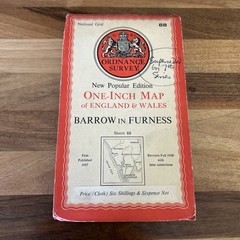
BARROW IN FURNESS Sheet 88 1947 CLOTH Sixth Edition Ordnance Survey 1 Inch

England – Wales – Ireland Cycle Route (Spiral bound)
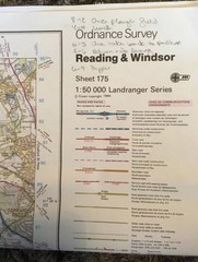
Ordnance Survey Landranger Map Sheet 175 Reading And Windsor