

Halifax (SW) & Sowerby Bridge 1892 (Coloured Edition) Yorkshire Sheet 230.12a
USD 6.69 USD
Specifications
| Type | Street Map/Directory |
| Author | Alan Godfrey |
| Publisher | Alan Godfrey Maps |
| Topic | Local History |
| Subject | History |
| Country Of Origin | United Kingdom |
| ISBN | 9781847846372 |
This 1892 version is in full colour, taken from the beautiful 1st Edition OS handcoloured map and covers the area from Warley Town eastward to King Cross and Queen's Road, and from Gibbet Street southward to Sowerby Bridge. Features include Rochdale Canal and Calder & Hebble Navigation with Basin; Canal Mills, Wharf Street with Christ Church, Scar Bottom, Octagon Tower, Washer Lane Dye Works, Pye Nest, Thorn Tree area, King Cross, St Paul's station, Gibraltar area, Dunkirk Mills, Cote Hill, St John's church, Warley Town, Willow Hall Mills, Albert Woollen Mills, Bairstow, Warley House, Cliff Hill, etc. We include 1889 directory extracts for Sowerby Bridge and Warley.
Related Items
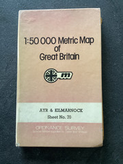
OS Landranger Scotland sheet 70 Ayr & Kilmarnock 1976 Laminated map

Porthcawl 1943 Glamorgan Sheet 39.16 by Alan Godfrey
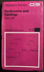
OS Ordnance Survey Landranger Map 1974, Sheet 199 – EASTBOURNE AND HASTINGS

Don Service Depots Map The Road to the West-the East-the South-the North by 1951

Ordnance Survey 1:25,000 First Series Map Sheet SP 51 Islip Oxfordshire

Harmsworth Universal Atlas Genuine Large Maps Bundle x 89 + 3

Trains The Illustrated magazine about railroads october 1948 ebay uk
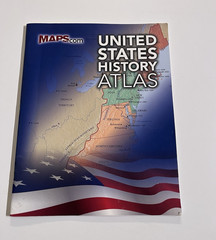
United States History Atlas Book