
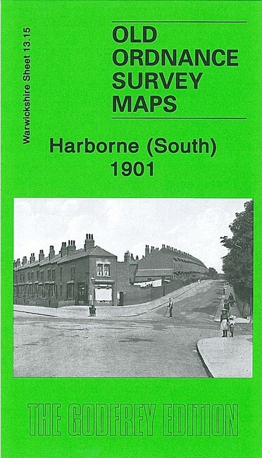
Harborne (South) 1901 Warwickshire Sheet 13.15 by Malcolm Nixon
USD 5.04 USD
Specifications
| Type | Street Map/Directory |
| Author | Malcolm Nixon |
| Publisher | Alan Godfrey Maps |
| Topic | Local History |
| Subject | History |
| Country Of Origin | United Kingdom |
| ISBN | 9781847843357 |
The map also includes Worcestershire sheet 5.15. This detailed map covers the southern part of Harborne and northern fringe of Northfield. Coverage stretches from Victoria Road southward to Weoley Park Farm and the northern tip of Selly Oak Park; and from Metchley Lane westward to Barnes Hill. Features include St Peter's church, Harborne Hall, Mill Farm, Dudley Canal, California area, site of Weoley Castle, Metchley Grange, The Grove, Harborne House, Gravel Bank, Welsh House Farm etc. On the reverse we include street directory entries for Harborne Lane, Metchley Lane, Northfield Road, Old Church Road, St Mary's Road, St Peter's Road and Victoria Road.
Related Items

Robert Woodhouse Stockton-on-Tees and Thornaby 1897 (Map)

Historical Atlas of the World R.R. Palmer Rand McNally 1961 Paperback
The English Lakes: South Eastern Area (O… by Ordnance Survey Sheet map, folded
The Shelfords 1901 Cambridgeshire Sheet 54.02 by Tony Kirby
Ordnance Survey Scotland half inch map sheet 31 Dumphries 1910, layers VERY GOOD

Witney 1919 Oxfordshire Sheet 31.08 by Barrie Trinder

Collins World Atlas by Collins UK Publishing Staff (2014, Trade Paperback,…

BOURNEMOUTH PURBECK No 195 1974 39580 1.500 000 First Series Ordnance Survey Map