
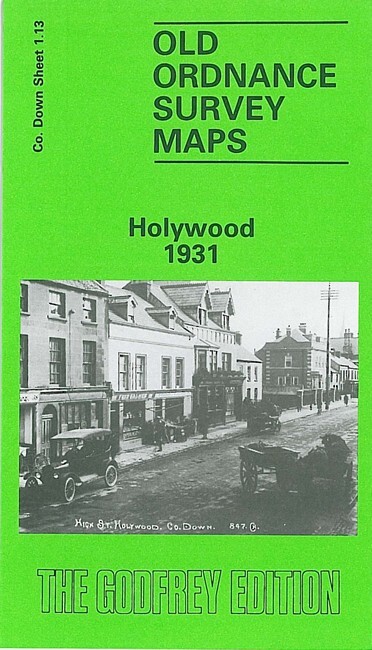
Holywood 1931 County Down Sheet 1.13 by Alison McCloy
USD 5.00 USD
Specifications
| Type | Street Map/Directory |
| Author | Alison McCloy |
| Publisher | Alan Godfrey Maps |
| Topic | Local History |
| Subject | History |
| Country Of Origin | United Kingdom |
| ISBN | 9780850541885 |
This very detailed map is double-sided for maximum coverage and covers most of the town of Holywood, east of Belfast. The main map covers the area from Holywood Barracks northward to Shore Street and eastward to Ardmore Terrace. Features include railway with Holywood station and Kinnegar Halt, Holywood House, Demesne Road area, Plas Merdyn, Church Road area, town centre, Town Hall, St Phillip & St James church, St Columbkille's RC church, Esplanade, Holywood Golf Course. On the reverse is sheet 1.09, continuing coverage northward to Priory Park, Marino House, Clanbrassil Terrace, Tudor Park.
Related Items

ADMIRALTY LEISURE Marine Chart SC1160 Plans on the Coast of Somerset and Devon

Collins world atlas book

Vintage Engish Towns And City Road Maps Joblot

Tasmanian Towns Street Atlas Map Guide TAS MAP Trade Paperback Edition 8
Birmingham (East) 1888 (Coloured Edition), 1901 or 1913 Warwickshire Sheet 14.06

MAP OF Mirfield & Ravensthorpe 1905: Yorkshire Sheet 247.06 Godfrey, Alan NEW
1997 Ordnance Survey Landranger Map 117 Chester And Wrexham (incl Ellesmere Port

Richmond 1911 Surrey Sheet 6.04 by Pamela Taylor