
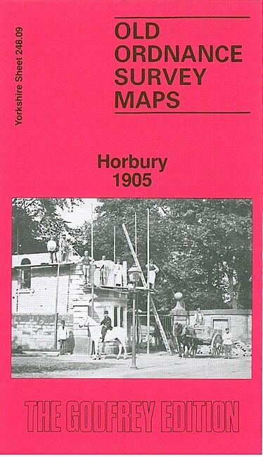
Horbury 1905 Yorkshire Sheet 248.09 by John Goodchild
USD 5.04 USD
Specifications
| Type | Street Map/Directory |
| Author | John Goodchild |
| Publisher | Alan Godfrey Maps |
| Topic | Local History |
| Subject | History |
| Country Of Origin | United Kingdom |
| ISBN | 9780850541755 |
This detailed map covers Horbury and Horbury Bridge, just west of Wakefield. The River Calder and Calder & Hebble New Cut run through the map. The Lancashire & Yorkshire Railway crosses the map, with Horbury & Ossett station.
Related Items

1987 Ordnance Survey Pathfinder Map 909 SO 29/39 Montgomery (incl Churchstoke )
Oystermouth & Mumbles 1896 Glamorgan Sheet 32.03 by Steph Mastoris

Bennett’s Tourists Route Map NORWAY Telephone Telegraph Stations Railway Lines

AA Paris & The North France Road Map 4 miles to 1 inch map 3

Exeter & the Lower Exe Valley 1888 One Inch Sheet 325 by Richard Oliver
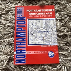
Tourist Guide Visitor Street Maps Atlas Red Book Northamptonshire Town Maps
MAP OF Dinas Mawddwy & District 1904 One Inch Sheet 150 by Derrick Pratt

AA Road Map Provence & French Riviera (Sheet map, folded)