

Lambeth Road 1872 London Large Scale Sheet 7.94
USD 5.05 USD
Specifications
| Publication Year | 1993 |
| Type | Street Map/Directory |
| Author | Alan Godfrey |
| Publisher | Alan Godfrey Maps |
| Topic | Local History |
| Subject | History |
| Country Of Origin | United Kingdom |
| ISBN | 9780850545951 |
This highly detailed map at a 'Yard to the Mile' scale is dominated by the massive Bethlehem or Bethlem Hospital (now the Imperial War Museum). Coverage of the map stretches from the grounds of Lambeth Palace (but not the palace itself) eastward to St George's Road and West Square. Other features include Christ Church, King Edward's Schools, Blind Asylum, St Paul's church, St George's RC Cathedral, a stretch of the LSWR railway, Trinity church, northern part of Kennington Road, Walcot Square. On the reverse are street directories for Church Street, Hercules Buildings, Kennington Road, Lambeth Walk, St George's Road, Walnut Tree Walk, West Square
Related Items
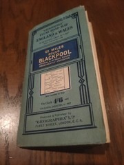
Geographia Clear Road Map On Cloth 60 Miles Round Blackpool England And Wales

OS Ordnance Survey Landranger Map 1976, Sheet 101 – SCARBOROUGH

29 x Ordnance Survey Landranger Maps of the UK

Betsy Mason Greg Miller All Over the Map (Hardback)
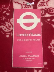
London Buses Fold Out Vintage Map & List Of Routes London Transport 1975

Lonely Planet Travel Tarot by Lonely Planet Cards

AA Greater London Street Atlas 1978 Hardback Book

9 Vintage Antique Cloth Mounted Maps