

Lindsey (Louth & District) 1897 One Inch Sheet 103 by David Robinson
USD 5.02 USD
Specifications
| Publication Year | 1999 |
| Type | One Inch Map |
| Author | David Robinson |
| Publisher | Alan Godfrey Maps |
| Topic | Local History |
| Subject | History |
| Country Of Origin | United Kingdom |
| ISBN | 9781841511146 |
The contours show this to be the Lincolnshire Wolds, with land rising to almost 500 feet in the centre the map, quite high for this county. Louth is the main town on the map and railway historians will be interested in the lines that run from it.
Related Items

York A-Z Pocket Street Map by A-Z Maps (Sheet map, folded)

GLOUCESTER Ordnance Survey Sheet SO81 Two & Half Inch MAP 1952 Cranham

EDINBURGH Ordnance Survey Sheet NT27/37 Two & Half Inch MAP 1969 Portobello

Ordnance Survey Map Of Malton, Pickering And Surrounding Area Sheet 100

North York Moors – Eastern Area by Ordnance Survey (Sheet map, folded)

Gilbert Bell Central Glasgow 1893 (Map) Old Ordnance Survey Maps of Lanarkshire
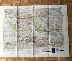
1945 Military System Map- Stirling & Dunfermline War Office Edition

National Geographic Atlas of the World : 7th Edition 1999, Oversize HC