
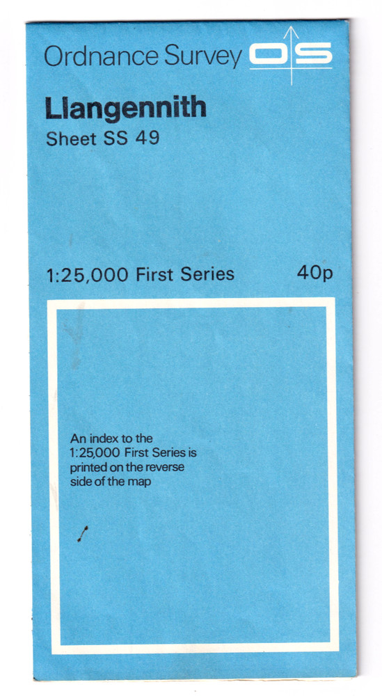
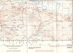
LLANGENNITH – Ordnance Survey 2.5 inch to 1 mile map
USD 4.71 USD
Specifications
| Type | Road Atlas |
| Publication Name | LLangennith map |
Also on the map to the north of the scan are Whiteford Burrows & lighthouse and north to Burry River. Westwards to Burry Holms and Hillend Burrows, including West Town & Priors Town. Published in 1956.
Related Items

Northern Star Road Atlas – United States Canada Mexico Very Good Condition

ORDNANCE SURVEY SHEET MAP BRISTOL & STROUD SHEET 156 VGC NO RIPS TEARS

Four vintage Ordnance Survey folded maps of south-west England, 1970s?

1970s Old Vintage Bartholomew’s Half-inch Contoured Map Sheet 32 Wharfdale

AA 2008 Easy Read Britain Road Atlas Map Of Britian Book

Dordogne, Correze Regional Map 229 by Blay-Foldex 1:180,000 Scale

ORDNANCE SURVEY 2.5 INCH MAP: HUNTLY (SOUTH)
Philip’s 2024 Big Atlas Britain & Ireland – SPIRAL BOUND ⭐️⭐️⭐️⭐️⭐️ ✅️