
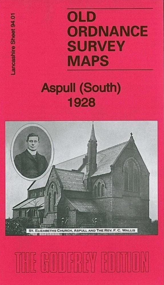
MAP OF Aspull (South) 1928 Lancashire Sheet 94.01 by Alan Godfrey NEW
USD 4.65 USD
Specifications
| Type | Street Map/Directory |
| Author | Alan Godfrey |
| Publisher | Alan Godfrey Maps |
| Topic | Local History |
| Subject | History |
| Country Of Origin | United Kingdom |
| ISBN | 9781847844675 |
Lancashire Sheet 94.01 Aspull (South) 1928 - published 2011; intro by Alan Godfrey. This highly detailed map covers the southern part of Aspull, now part of Wigan borough. Coverage stretches from Top Lock northward to the Crawford Pits, and eastward to Gidlow Hall.
Related Items

Lonely Planet Iceland Planning Map by Lonely Planet (Sheet map, folded)

Ordnance Survey 1:50000 First Series Sheet 186 Aldershot & Guildford 1974

Stonefield, Auchinraith & Burnbank 1897 Lanarkshire Sheet 11.15 by Gilbert Bell

4x BARTHOLOMEW WORLD TRAVEL MAPS USA Eastern Europe Africa Etc. Bundle Job-Lot

Holywood 1931 County Down Sheet 1.13 by Alison McCloy

Job lot of Vintage 1950s Shell Motor Touring in Europe Guides – Italy France etc

Padstow, Wadebridge & Bodmin Moor 1905 One Inch Sheet 336 by Richard Oliver

The University Atlas Harold Fullard & H. C. Darby 1972