
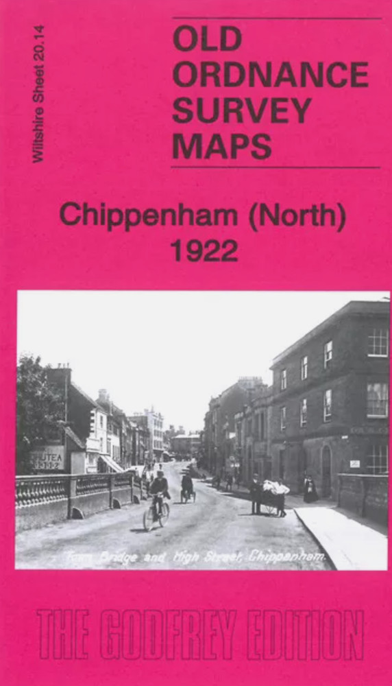
MAP OF Chippenham (North) 1922 Wiltshire Sheet 20.14 NEW
USD 4.59 USD
Specifications
| Publication Year | 2022 |
| Type | Street Map/Directory |
| Publisher | Alan Godfrey Maps |
| Topic | Local History |
| Subject | History |
| ISBN | 9780850549591 |
This map covers the centre and northern part of Chippenham, with coverage stretching from the Market Place northward to Hardenhuish House, and from The Folly eastward to Cocklebury Farm. Features include St Andrew's church, The Ivy, Lowden Hill, High Street area, Monkton House, Condensed Milk Factory, railway with station, engine shed, Railway Signal Works, Bacon Factory, Landsend area, Langley Burrell Within parish, St Paul's church, The Hamlet area, Cocklebury Farm, Pew Hill, Woodlands area, Lowden Farm, Greenway Lane Farm, Hardenhuish House and Park, St Nicholas church etc.
Related Items

National Geographic Concise Atlas of the World, 5th edition: Authoritative and c

The Times Atlas of World History by Barraclough Geoffrey Hardcover

MAP OF Edgbaston 1901: Warwickshire Sheet 13.12 by Richard Abbott NEW

Lampeter, Tregaron & District 1909 One Inch Sheet 195 by Alan Leather

Halifax (SW) & Sowerby Bridge 1892 (Coloured Edition) Yorkshire Sheet 230.12a
Alan Godfrey Central Nottingham 1899 (Map) Old O.S. Maps of Nottinghamshire
MAP OF Bury 1928 Lancashire Sheet 88.09 NEW

National Geographic Atlas Of World History, Hardcover Book 1997