
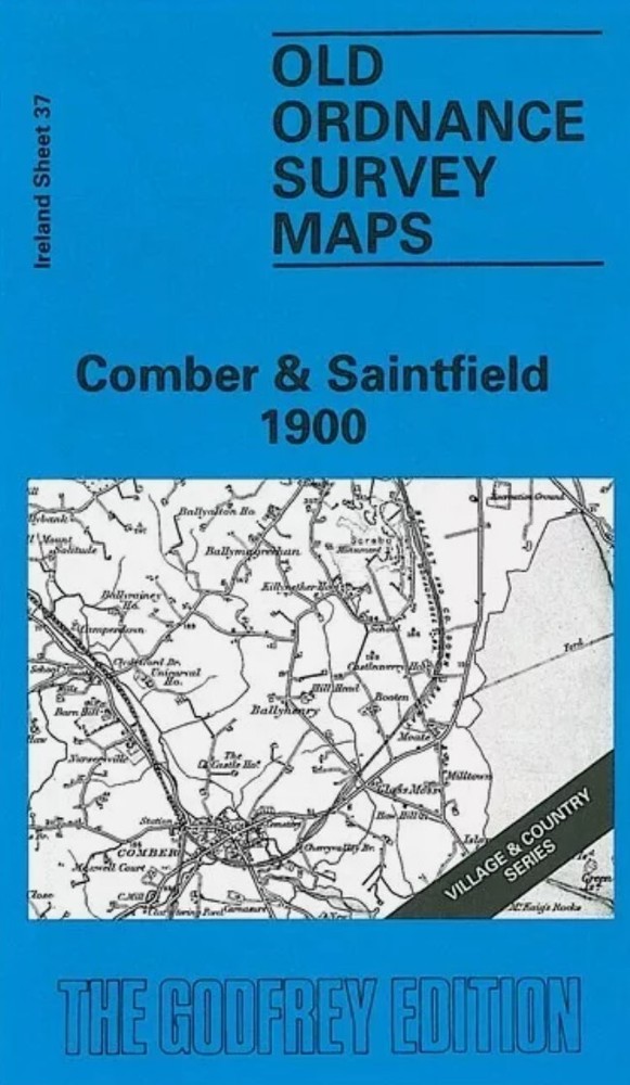
MAP OF Comber & Saintfield 1900 Irish One Inch Sheet 37 by Alan Godfrey
USD 4.64 USD
Specifications
| Type | One Inch Map |
| Author | Alan Godfrey |
| Publisher | Alan Godfrey Maps |
| Topic | Local History |
| Subject | History |
| ISBN | 9781787211506 |
Towns covered include Newtownards, Comber Saintfield, part of east Belfast, Kircubbin, Grey Abbey and the villages of Ballywalter, Ballyhalbert, Mill Isle, Carryduff and Ardmillan. Much of Strangford Lough is shown and other features of interest include long lost sections of the Belfast & Co Down Railway through Newtownards and Saintfield.
Related Items

The Mendips 1897 One Inch Sheet 280 by Tony Painter
Brixham 1904 Devon Sheet 128.02 by Richard Oliver

MAP OF Brighouse 1905 Yorkshire sheet 231.15 NEW 9780850549409

Penguin Atlas of British and Irish History From Earliest Times to the Present…

North Berwick 1906 Lanarkshire sheet 2.12 by Barbara Morris

MAP OF Central Birmingham 1902 Warwickshire Sheet 14.05 NEW 9781847849168

A Regional History of the Railways of Great Britain: Vol 11: North & Mid Wales.
Godfrey Edition Old Ordnance Survey MAP of HELSBY 1908 Cheshire Sheet 32.06