
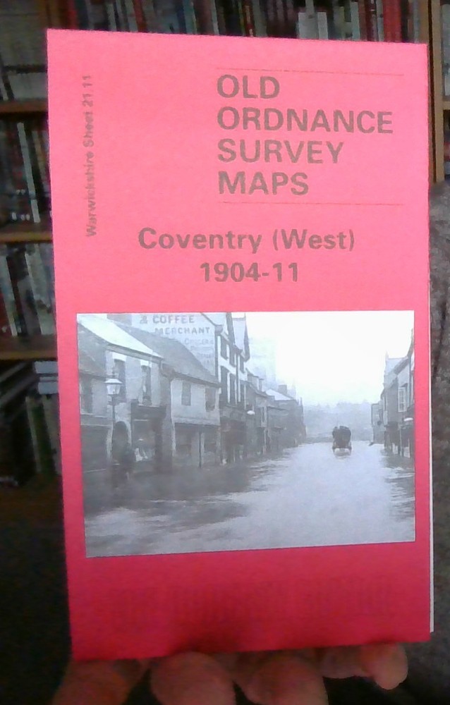
MAP OF Coventry (WEST) 1904-11 WARWICKSHIRE SHEET 21.11 NEW 9781841518732
USD 4.69 USD
Specifications
| Type | Street Map/Directory |
| Publication Name | Coventry (WEST) 1904-11 |
| Author | Malcolm Nixon |
| Publisher | Alan Godfrey Maps |
| Topic | Local History |
| Subject | History |
| Country Of Origin | United Kingdom |
| ISBN | 9781841518725 |
The Coventry West map covers the western part of the city and is taken from the unusual Inland Revenue revision map; these were partially revised to 1911 and this makes it easy to chart the progress of the area between 1904 and 1911. Spon End is central to this map, with coverage stretching from Spon Street and St Osburg's Priory westward to Chapel Fields, Hearsall Common and, at the western edge of the map, Whoberley Hall. Features include Coundon Road station, Rudge Motor & Cycle Works, St Thomas's church. The directory continues on this map, with entries H-P, plus a timetable for the Coventry-Nuneaton railway in 1897.
Related Items

Vintage Bartholowmew’s Half-Inch Contoured Map- RARE EXMOOR
Hatton 1935 Middlesex Sheet 20.05 by Tony Painter

Postcode Map For London PCO Drivers – London Postal District Area ✅ ECO MAP

Routemaster 2 Ordnance Survey Map 1:250000 Northern Scotland

Antique Vintage MICHELIN Tyres Edition Map No.16, Birmingham To Cambridge Rare

Ordnance Survey Explorer 1:25,000, Sheet 7 / 102 Land’s End – 1996

Harlech & District 1903 One Inch Sheet 135 by Derrick Pratt

PEMBROKE Bartholomews Half Inch Map No 11 1966 – Free Postage