
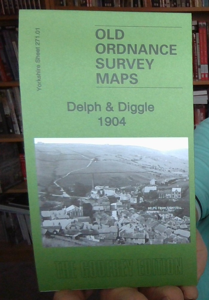
MAP OF Delph & Diggle 1904 Yorkshire Sheet 271.01 by Chris E Makepeace NEW
USD 4.93 USD
Specifications
| Publication Year | 2022 |
| Type | Street Map/Directory |
| Author | Chris E Makepeace |
| Publisher | Alan Godfrey Maps |
| Topic | Local History |
| Subject | History |
| Country Of Origin | United Kingdom |
| ISBN | 9781787215207 |
The main map covers part of New Delph (in the lower left corner) and stretches east to include Diggle, part of the Standedge Tunnels, Harrop Dale, Weakey, Warth Mills, Diggle Lee, Kiln Green etc. This detailed map of Delph and Diggle is double-side for maximum coverage.
Related Items
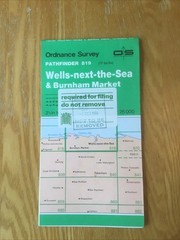
1986 Ordnance Survey Pathfinder Map 819 Wells-next-the-Sea And Burnham Market

❤️NEW UNUSED CHEAP❤️G W Bacon’s Up-to-Date Map of London 1902❤️NEW UNUSED RARE❤️

Hadrian’s Wall Historical Map & Guide | Ordnance Survey | 2 1/2 inches to 1 mile
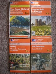
OL 24 259 269 260 NOTTINGHAM DERBY CHESTERFIELD EXPLORER ORDNANCE SURVEY MAPS OS

OS Ordnance Survey Landranger Map Sheet 150 Worcester & The Malverns – 1997

Fleet Street & The Strand 1874 London Large Scale Sheet 7.64

OS LANDRANGER MAP 197 CHICHESTER & THE SOUTH DOWNS ORDNANCE SURVEY
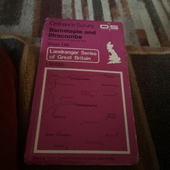
OS Ordnance Survey Landranger Map Sheet 180 Barnstaple & Ilfracombe – 1980