
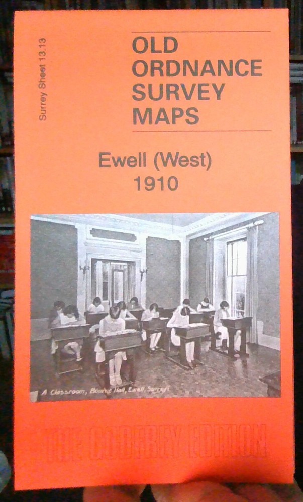
MAP OF Ewell (West) 1910: Surrey Sheet 13.13 by Richard Oliver NEW
USD 5.68 USD
Specifications
| Return Postage Will Be Paid By | Buyer |
| Returns Accepted | Returns Accepted |
| After Receiving The Item, Your Buyer Should Cancel The Purchase Within | 30 days |
| Publisher | Alan Godfrey Maps |
| Subject | History |
| Publication Year | 2012 |
| Language | English |
| Type | Textbook |
| Author | Richard Oliver |
| Format | Sheet Map |
Here are the details of maps for Ewell (West): Surrey Sheet 13.13 Ewell (West) 1910 - published 2012; intro by Richard Oliver. ISBN.978-1-84784-641-9 This detailed map covers the western part of Ewell. Features include Garbrand Hall (later Bourne Hall), Upper Mill, Lower Mill, stretch of LSWR railway with Ewell station at foot of map, West Ewell, All Saints church, Ewell Court, 'Epileptic Colony' (London County Asylums), Hogsmill River, Poplar Farm etc. A 1903 directory of Ewell is included on the reverse. The map links up with Surrey Sheets 13.14 Cheam to the east.
Related Items

Access Paris 7e – GOOD
MAP OF Beaminster, Bridport & West Dorset 1905 One Inch Sheet 327 NEW

Scotland (Visitors’ Map) (Collins British Isles and Ireland… Sheet map, folded

Rand McNally Know Geography World Atlas (Grades 9-12) Paperback English

Harvey Map Services Ltd. Snowdonia North (Map) British Mountain Map (UK IMPORT)

Blue Guide Northern Italy : From the Alps to Bologna (Blue Guides)
Atlas of the World by Oxford University Press

Where To Go When (Hardback) (UK IMPORT)