
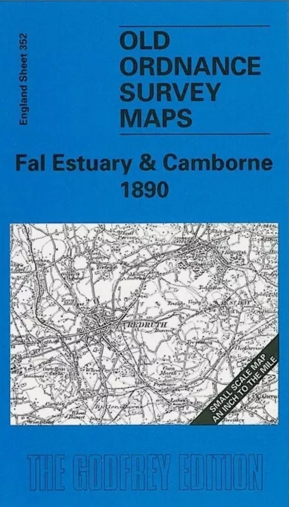
MAP OF Fal Estuary & Camborne 1890 One Inch Sheet 352 by Kim Cooper NEW
USD 4.61 USD
Specifications
| Type | One Inch Map |
| Author | Kim Cooper |
| Publisher | Alan Godfrey Maps |
| Topic | Local History |
| Subject | History |
| ISBN | 9781841511627 |
This map covers the area of west Cornwall from Camborne eastward to Truro, and southward to Falmouth Bay. On the reverse is a detailed map of Praze-an-Beeble, together with a short directory. For transport historians the map shows part of the branch to Helston, and the mineral branches to Portreath.
Related Items

Boothstown & Astley Green 1904 Lancashire Sheet 103.01 by Alan Godfrey
MAP OF Felixstowe 1902 Suffolk Sheet 90.01 by Robert Malster NEW

Tweedmouth 1922 Northumberland Sheet 4.02 by Anthea Lang

MAP OF Bridgend 1897 Glamorgan Sheet 40.07 by Derrick Pratt NEW 9781847844972

Hull (Hessle Road) 1928 Yorkshire Sheet 240.06 9780850541137 | Brand New
New Tredegar 1899 Monmouthshire sheet 17.09 by Derrick Pratt
Ron Blake Nottingham (North) 1913 (Map)

Didcot 1898 Berkshire Sheet 15.07 by Mike Jee