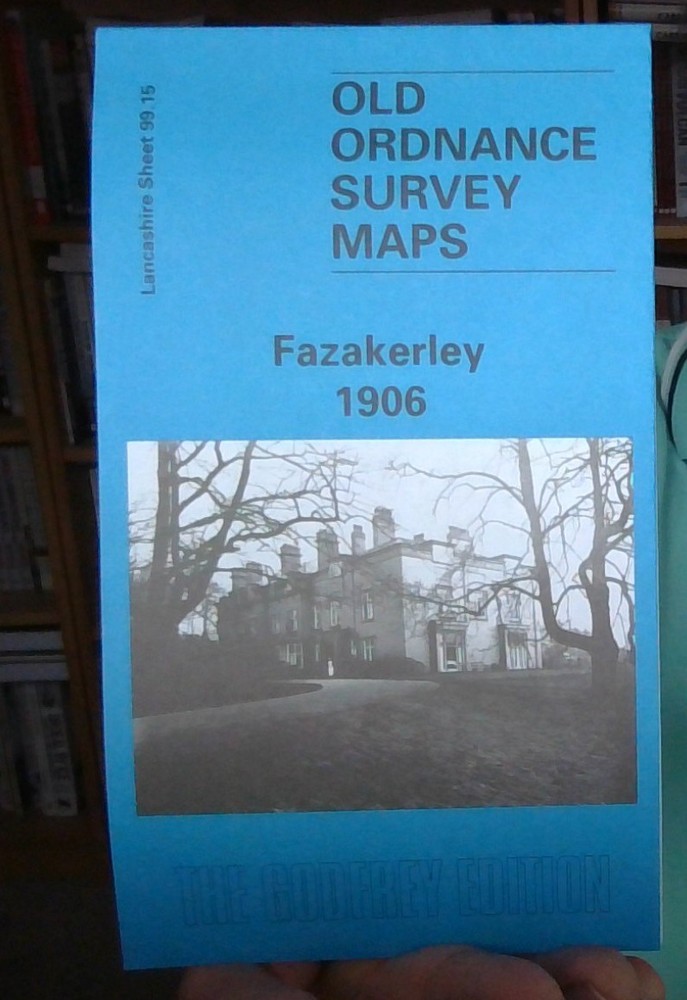
MAP OF Fazakerley 1906 Lancashire Sheet 99.15 by Naomi Evetts NEW 9780850549836
Specifications
| Type | Street Map/Directory |
| Publication Name | MAP OF Fazakerley 1906 |
| Author | Naomi Evetts |
| Publisher | Alan Godfrey Maps |
| Topic | Local History |
| Subject | History |
| Country Of Origin | United Kingdom |
| ISBN | 9780850549836 |
This detailed map covers the Fazakerley area, and a northerly part of Walton on the Hill, on the outskirts of Liverpool. Coverage stretches from Rice Lane and Walton Vale eastward to Higher Lane Farm, and from Sandy Lane southward to Firdale Road. Features include Everton Cemetery, part of City Hospital, Fazakerley Annexe, Birch Tree House, Rosebank Farm, Hartley's Village and Hartley's Jam Factory, tramways, stretch of Cheshire Lines Railway with Fazakerley North Junction and MR Bootle Goods Branch, Donard Lodge, Knowles House, stretch of LYR railway with east end of Preston Road station, etc. On the reverse we include a selection of street directory entries, incl Cedar Road, Fazakerley Road, Higher Lane, Long Lane, Longmoor Lane, Second Avenue, Walton Vale, Warbeck Moor.
Related Items