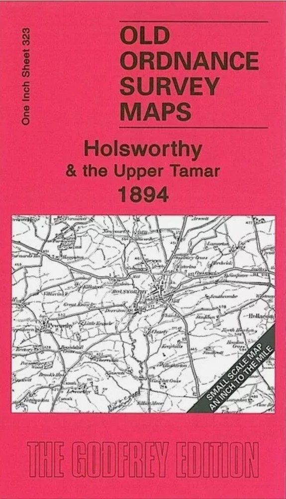
MAP OF Holsworthy & the Upper Tamar 1894 One Inch Sheet 323 by Richard Oliver
Specifications
| Return Postage Will Be Paid By | Buyer |
| Returns Accepted | Returns Accepted |
| After Receiving The Item, Your Buyer Should Cancel The Purchase Within | 30 days |
| Type | One Inch Map |
| Publication Name | N/A |
| Author | Richard Oliver |
| Publisher | Alan Godfrey Maps |
| Topic | Local History |
| Subject | History |
Here is information about Sheet 323: One Inch Sheet 323 Holsworthy & the Upper Tamar 1894 - published 2009; intro by Richard Oliver. ISBN.978-1-84784-275-6This Inch to the Mile map is split between Cornwall and Devon and covers an area from Marhamchurch eastward to Highampton, and from Holsworthy southward to Werrington Park. The River Tamar runs through the map and other features include the small town of Holsworthy, the LSWR Launceston and Holsworthy Branches, the old Bude Canal. On the reverse we include a detailed map of Holsworthy itself. It is not possible to list the many hamlets, farmsteads and other topographical features shown on these maps. However, you may find it useful if we list the towns and principal villages or church parishes that are included on this map. Links are given for those for which detailed large-scale maps are also available. Cornwall: Boyton, Egloskerry, Launcells, Marhamchurch, North Tamerton, Tremaine, Treneglos, Tresmeer, Warbstow, Week St Mary, WhitstoneDevon: Ashwater, Beaworthy, Black Torrington, Bratton Clovelly, Bridgerule East, Broadwood Widger, Germansweek, Halwill, Highampton, Hollacombe, Holsworthy, Luffincott, North Petherwin, Northcott, Pyworthy, St Giles on the Heath, Stowford, Tetcott, Thrushelton, Virginstow, Werrington
Related Items