
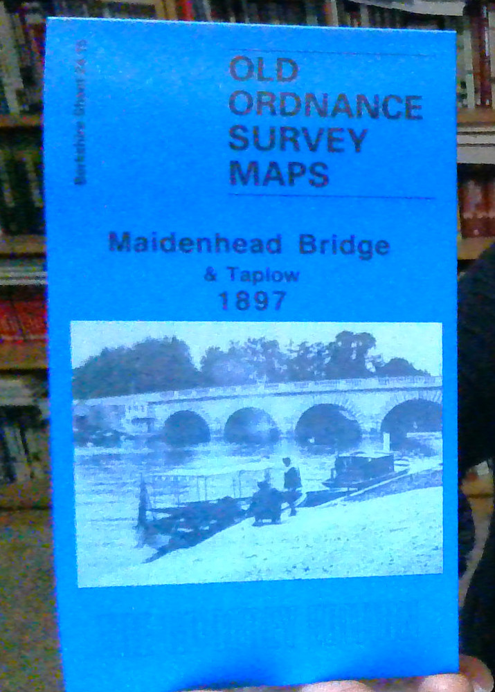
MAP OF Maidenhead Bridge & Taplow 1897 Berkshire Sheet 24.15 by Edward Sammes
USD 4.71 USD
Specifications
| Type | Street Map/Directory |
| Author | Edward Sammes |
| Publisher | Alan Godfrey Maps |
| Topic | Local History |
| Subject | History |
| ISBN | 9780850547504 |
The Maidenhead Bridge map covers the east of the town, and an area eastward to Taplow. Coverage stretches from Bridge Road eastward to Taplow station, and northward to Taplow Court. Taplow village, with St Nicholas church, Taplowhill House, Taplow Paper Works and Queens Head Hotel, is at the top of the map. The River Thames runs north-south through the map. Beside it are Oldfield Lodge, Orkney Arms Hotel, Thames Hotel, Bridge House, numerous boat houses, Grosvenor House, Raymead Hotel and other buildings. Large houses stand on Ray Park Avenue, part of the Ray Park Estate. Directories of Maidenhead and Taplow are on the reverse.
Related Items

Croydon 1895 London Sheet 157
MAP OF Coalbrookdale & Lightmooor 1925 Shropshire Sheet 43.10 NEW 9781787217904

North American Maps for Curious Minds: 100 New Ways to See the Continent
Bournemouth (West) & Branksome Park 1908 Hampshire Sheet 85.16 by Tony Painter

MAP OF Beccles 1926 Suffolk Sheet 9.11 by Robert Malster NEW
Alan Godfrey Old Ordnance Survey Maps Darlaston King’s Hill & Bescot 1901 Pair
Letterkenny & District 1913 Irish One Inch Sheet 16 by James McBride

Trafford Park (South) 1904 or 1937 Lancashire Sheet 103.16