
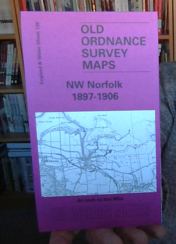
MAP OF NW Norfolk 1897-1906 One Inch Sheet 130 by Mary Presland NEW
USD 4.65 USD
Specifications
| Publication Year | 2003 |
| Type | One Inch Map |
| Author | Mary Presland |
| Publisher | Alan Godfrey Maps |
| Topic | Local History |
| Subject | History |
| Country Of Origin | United Kingdom |
| ISBN | 9781841515250 |
Coverage stretches from Ringstead eastward to Stiffkey, and from the coast southward to Fring and Great Snoring. Features include an interesting coastal area, with Brancaster Bay, Holkham Bay, and the salt marshes near Wells and Stiffkey; the long closed railways to Wells, the West Norfolk Branch and the Wymondham & Wells Branch; and the large park of Holkham Hall, near the centre of the map.
Related Items

VINTAGE THE GRADED ROAD MAP THE LAKE DISTRICT GALL & INGLIS WATERPROOF CLOTH

Nottingham, first edition of the one-inch Ordnance Survey map

OS Ordnance Survey 1″ New Popular Edition 163 Barnstaple – 1946 on cloth

Vintage Map- Road Map of England & Wales Bacon’s Reversible Maps No 2 c1950’s

Admiralty Small Craft Charts 5601: East Devon and Dorset Coast – FULL SET

Job Lot – Vintage Ordnance Survey Maps / Lake District / Northampton / Spalding

History Odyssey Timeline Set Homeschool Middle Ages Modern Times Early Modern

Winchester & Basingstoke, Andover & Romsey by Ordnance Survey