

MAP OF Redhill 1895 Surrey Sheet 26.16 by Alan A Jackson NEW 9781841512723
USD 4.98 USD
Specifications
| Type | Street Map/Directory |
| Author | Alan A Jackson |
| Publisher | Alan Godfrey Maps |
| Topic | Local History |
| Subject | History |
| Country Of Origin | United Kingdom |
| ISBN | 9781841512723 |
This detailed map covers the centre of Redhill, gathered on the west side of the railway, and extends eastward a mile along Nutfield Road to Patteson Court. Redhill grew up because of the railway, and the Brighton line runs north-south through the centre of the map. Features include Redhill Junction station, engine shed, Royal St Anne's Society Schools, Market Field, Gasworks, Station Road, High Street, Fullers Earth works. On the reverse are a directory of private residents, together with an essay on the town's development by the noted transport and suburbia historian Alan Jackson.
Related Items

Bentley 1929 Yorkshire Sheet 277.09 by Alison Vainlo

winchester and basingstoke ordnance survey sheet 185 dated 1979
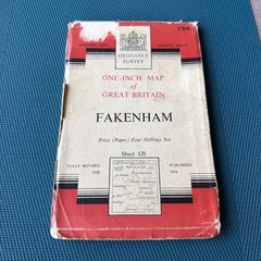
Vintage OS One Inch Map – Sheet 125 – Fakenham – 1954
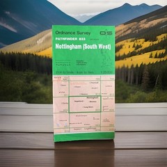
Ordnance Survey Map Pathfinder 833 – Nottingham (South West) – 1987 Edition

Bartholomew Map Cardigan Aberystwyth Wales Vintage 70s 1971 Paper ½” FreePost UK

Aberdeen (Ferryhill & Torry) 1900 Aberdeenshire Sheet 75.15 by John Smith

Newington Butts & Walworth 1871-93 London Large Scale 11.05 by Alan Godfrey

MAP OF Bedford 1900 Bedfordshire Sheet 11.16a by Tony Kirby NEW 9781787214026