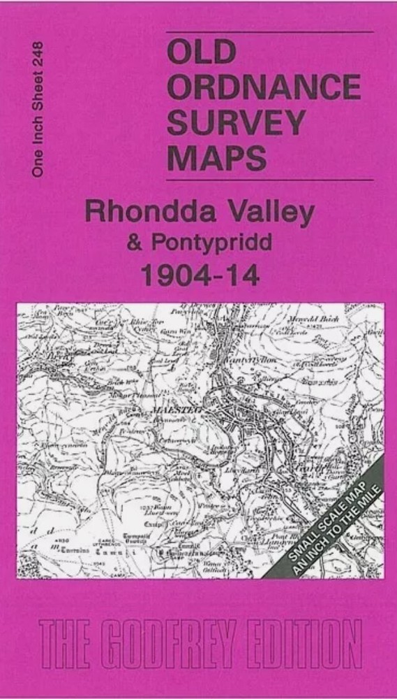
MAP OF Rhondda Valley & Pontypridd 1904-14 One Inch Sheet 248 by Derrick Pratt
Specifications
| Return Postage Will Be Paid By | Buyer |
| Returns Accepted | Returns Accepted |
| After Receiving The Item, Your Buyer Should Cancel The Purchase Within | 30 days |
| Type | One Inch Map |
| Publication Name | N/A |
| Author | Derrick Pratt |
| Publisher | Alan Godfrey Maps |
| Topic | Local History |
| Subject | History |
Here is information about Sheet 248: One Inch Sheet 248 Rhondda Valley & Pontypridd 1904-14 - published 2007; intro by Derrick Pratt. ISBN.978-1-84151-981-4This Inch to the Mile map covers much of the area around the Rondda Valley, with coverage stretching from Margam eastward to Pontypridd, and from Glyncorrwg southward to Llantrisant. Other towns include Mountain Ash and Maesteg. The map is especially interesting for the collieries and railways along the valleys, which include the Rhondda, Ely Valley, Ogwr Fawr (Ogmore), Garw and others. Much of it is so crowded with information that it demands close inspection! On the reverse we include a detailed map of Coed Ely Colliery. It is not possible to list the many hamlets, farmsteads and other topographical features shown on these maps. However, you may find it useful if we list the towns and principal villages or church parishes that are included on this map. Links are given for those for which detailed large-scale maps are also available. Glamorgan: Blaenllechan, Bryn, Garth, Glyncorrwg, Llandyfodwg, Llangeinor, Llangynwyd, Llangynwyd Lower, Llanharan, Llantrisant, Llanwonno, Maesteg, Margam, Mountain Ash, Ogmore Vale, Pontypridd, Tonypandy, Ystrad Dyfodwg
Related Items