

MAP OF Rochdale (West) 1908 Lancashire Sheet 88.04 by Alan Godfrey NEW
USD 4.98 USD
Specifications
| Type | Street Map/Directory |
| Author | Alan Godfrey |
| Publisher | Alan Godfrey Maps |
| Topic | Local History |
| Subject | History |
| Country Of Origin | United Kingdom |
| ISBN | 9781841514079 |
This detailed map covers the western part of Rochdale, with coverage extending from Manchester Road and the Art Gallery westward to Broadhalgh, and from Falinge Fold southward to Sparth Bottoms Road. The many features include cricket ground, Falinge Park, St Edmund's church, Bankside Mill, Sunny Bank Mills, gas works, Mitchell Hey, Mitchell Hey Mills, Standard Mill, Brimrod Mill, Oakenrod Hall, cemetery, tramways and depot, Lenny Barn, Mellor Street Mill, Spotland Bridge, St Clement's church, football ground, Passmonds, Cutgate, Broadhalgh. On the reverse we include street directory entries for Bury Road, Edenfield Road, Spotland Road.
Related Items

OS Mapstart 4 3rd. Edition by Bavarian International School, Scott Jackson (Pape
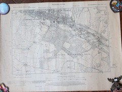
1944 OS Map High Wycombe Chepping Wycombe map #47 BucksNW Provisional Edition

Admiralty Charts SC 5603 – Falmouth to Hartland Point 7th Edition
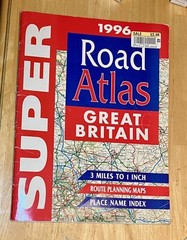
SUPER Road Atlas Great Britain (Spiral bound, 1996)
No.7 Large sheet series. ORD. SUR. MAP. ENG & WAL. 4M to 1″ Norf & Suff. (D27e)

3 x O S landranger maps
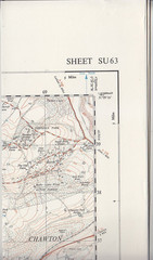
Ordnance Survey 1:25,000 Provisional Series Map Sheet SU 63 Four Marks

ADMIRALTY LEISURE Marine Chart SC 1156 Trevose Head to Hartland Point