
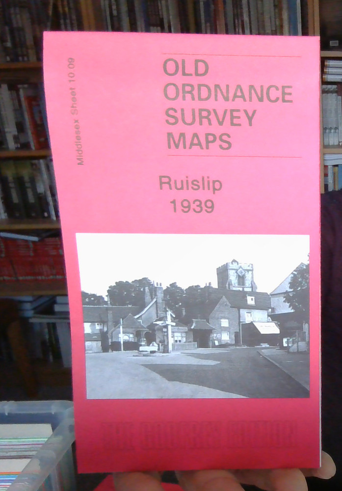
MAP OF Ruislip 1939: Middlesex Sheet 10.09 by Eileen M. Bowlt NEW
USD 4.60 USD
Specifications
| Type | Street Map/Directory |
| Publication Name | MAP OF Ruislip 1939 |
| Author | Eileen M. Bowlt |
| ISBN | 9781847842701 |
This detailed map covers much of Ruislip, a town that developed rapidly in the early 20th century. Coverage stretches from Hill Lane and Heathfield Rise eastward to Myrtle Avenue, and from Evelyn Avenue southward to Westfield Way.
Related Items

Enniskillen (West) 1936 County Fermanagh Sheet 22.09 by Alan Godfrey
Hanley & Etruria 1898 & 1922 Staffordshire Sheet 12.13
Prestwick 1908 Ayrshire Sheet 27.14 by Gilbert Bell
MAP OF Grays Thurrock 1916 Essex Sheet 95.06 by Tony Kirby NEW 9781787215443

Italy Florence Street map + 2 other street maps, tourist info, index

Newbury 1898 Berkshire Sheet 43.01 by Tony Higgott

GREAT YARMOUTH & LOWESTOFT ANTIQUE MAP PRINTED 1928

Sheet 71 Middlesex OS Map