
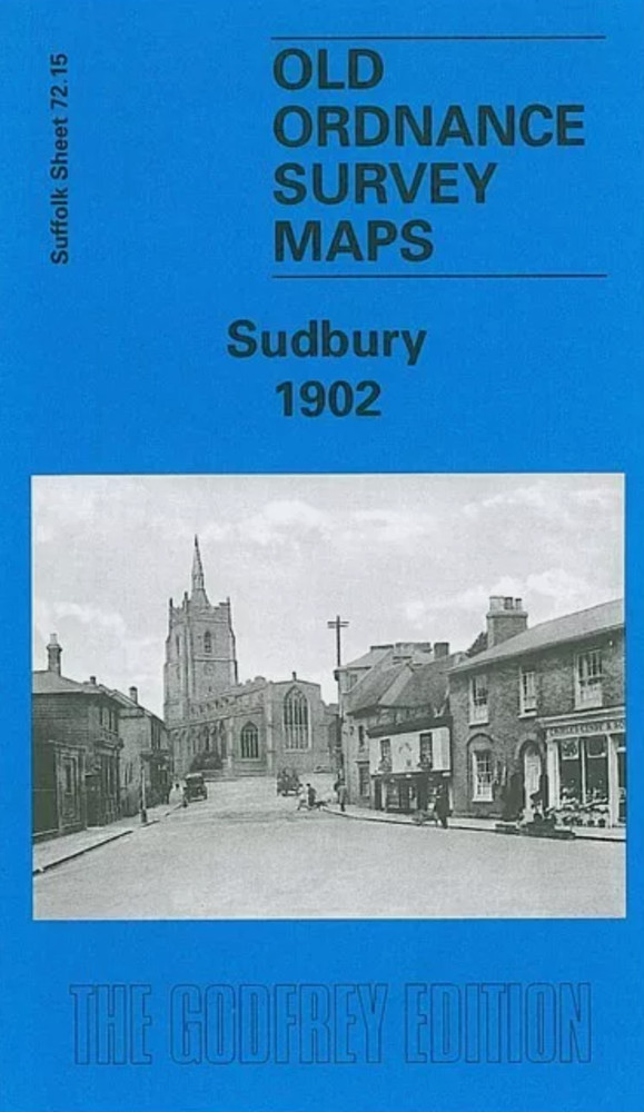
MAP OF Sudbury 1902 Suffolk Sheet 72.15 by Robert Malster NEW
USD 4.64 USD
Specifications
| Type | Street Map/Directory |
| Publication Name | MAP OF Sudbury 1902 |
| Author | Robert Malster |
| Publisher | Alan Godfrey Maps |
| Topic | Local History |
| Subject | History |
| ISBN | 9781841512037 |
This detailed map provides good coverage of centre and north of Sudbury. Coverage stretches from Stour Street and Gainsborough Street northward to Arthur Hall and Bartholomew Farm. Features include railway (but not station), St Peter's church, Market Hill, Freemen's Great Common, workhouse, Great and Little Fullingpit Meadows, Acton Square, silk manufactories, malthouse, North Street, Brundon, Brundon Mill. We include a directory of Sudbury in 1896.
Related Items

Boscastle 1905 Cornwall Sheet 10.07 by Tom Greeves

BUNDLE OF 22 VINTAGE STREET MAPS SCOTLAND

Thaxted 1916 Essex sheet 24.03 by Robert Malster

Peter Davidson Atlas of Empires (Paperback) (UK IMPORT)

Falmouth 1878 Cornwall Sheet 71.12 by Richard Oliver
GRAVESEND Street plan with index – by Barnett’s circa 1963
Acocks Green 1902-11 or 1913 Warwickshire Sheet 14.15

Gretna Green 1898 Dumfriesshire Sheet 64.01 by Sarah Lee