
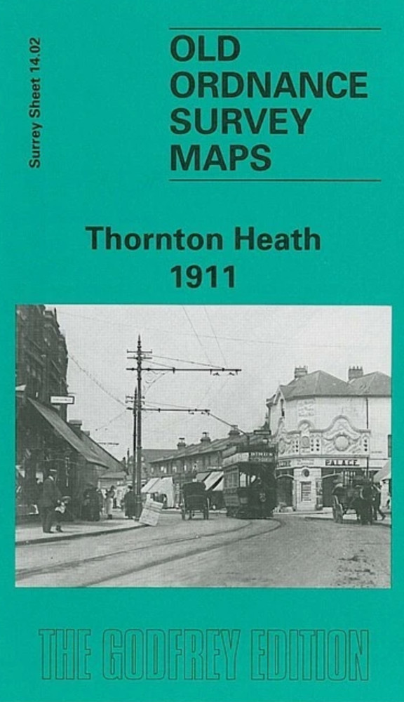
MAP OF Thornton Heath 1911 Surrey Sheet 14.02 by John W Brown NEW
USD 4.60 USD
Specifications
| Type | Street Map/Directory |
| Author | John W Brown |
| Publisher | Alan Godfrey Maps |
| Topic | Local History |
| Subject | History |
| ISBN | 9780850549348 |
This Surrey sheet 14.02 is centred somewhat further east, although it does overlap considerably with the London map (London 149). This later map is more built up, and covers an area from Bridport Road and Beverstone Road eastward to South Norwood Hill and Whitworth Road; and from Beulah Crescent southward to Ecclesbourne Road and Dagnall Park. It therefore covers most of Thornton Heath and part of South Norwood. Features include tramways, Grangewood, Thornton Heath station (enlarged since the earlier map), Falkland Park, Ross Road, Whitehorse Road etc. This map too includes good street directory extracts, listing many of the occupants.
Related Items
MAP OF KENTON, FAWDON & COXLODGE 1941 NORTHUMBERLAND SHEET 94.03 NEW

HISTORICAL ATLAS NAPOLEONIC ERA by Angus Konstam 2003 hcdj 1st NEW! Illustrated
Gravesend 1936 Kent Sheet 10.07b by Pamela Taylor

1998 LOCAL RED MAP BOOK FOLKESTONE DOVER DEAL HYTHE NEW ROMNEY 11th REVISION

PERTH – Large scale street plan (vintage)
North Perivale & South Sudbury 1935 Middlesex Sheet 15.04 by Peter Hounsell

Dublin: The Castle Sheet 1843 by Paul Ferguson

Vintage 1973-74 AAA Detroit MI Southern Suburbs Travel Road Map