
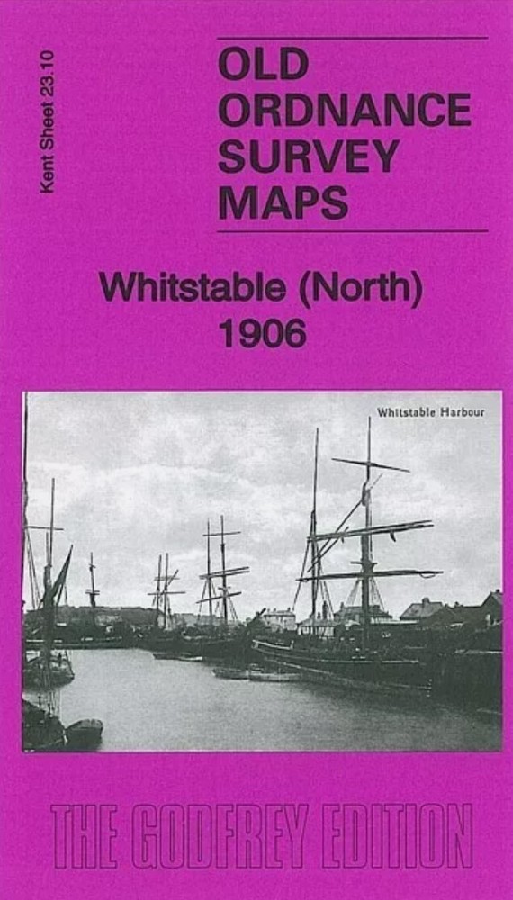
MAP OF Whitstable (North) 1906 Kent Sheet 23.10 NEW
USD 4.60 USD
Specifications
| Type | Street Map/Directory |
| Author | Barrie Trinder |
| Publisher | Alan Godfrey Maps |
| Topic | Local History |
| Subject | History |
| ISBN | 9781847847836 |
Sheet 23.14 Whitstable (East) covers the area from Whitstable station eastward to Rayham Farm and Ridgeway. Kent Sheet 23.10 Whitstable (North) 1906 - published 2014; intro by Barrie Trinder. Kent Sheet 23.13 Whitstable (West) 1905 - published 2014; intro by Barrie Trinder.
Related Items
MAP OF NE Lincolnshire 1906 One Inch Sheet 90 by Richard Oliver NEW

John Boynton Birmingham (North) 1913 (Map)

BIRMINGHAM INNER DISTRICT STREET PLAN

MAP OF Swindon NW 1922 Wiltshire Sheet 15.03 NEW 9781787214507

WISBECH & MARCH Street plan with index – by Barnett’s circa 1980’s

Stoke Newington 1868: London Sheet 030.1 (… by Mander, David Sheet map, folded
Malton & Norton 1926 Yorkshire Sheet 124.06 by Alan Godfrey
Patrick Coulcher The Sun Islands A Natural History of the Isles of Scilly Signed