
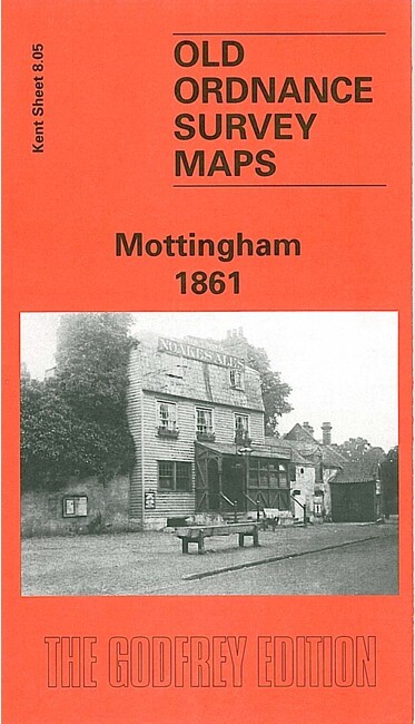
Mottingham 1861 Kent Sheet 8.05 by John Kennett
USD 5.00 USD
Specifications
| Type | Street Map/Directory |
| Author | John Kennett |
| Publisher | Alan Godfrey Maps |
| Topic | Local History |
| Subject | History |
| Country Of Origin | United Kingdom |
The very early Kent series map 8.05 is centred on the small village of Mottingham - population just 142 in 1851 - and shows a quite rural area. Buildings include Fairy Hall, Mottingham House, and the map stretches west to College Farm, east to Eltham station. There are directories of Mottingham in 1874 and 1882, plus Sale particulars for the Mottingham House estate. The map links up with Kent Sheet 8.06 New Eltham to the east, sheet 8.09 Elmstead Wood to the south.
Related Items

Ordnance Survey Outdoor Leisure 5: The English Lakes: North Eastern Area…
Ordnance Survey Map 1:25,000 First Series Sheet NY 30 Ambleside

OS MAP LAND’S END ISLES of SCILLY PENZANCE St IVES NEWLYN HELSTON REDRUTH

Hammond American History Atlas 1972 Vintage US Map History Book Illustrated
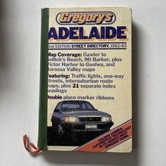
Adelaide Gregory’s Street Directory 31st Edition Softcover-1982-1983 Maps
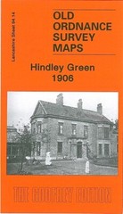
Hindley Green 1906 Lancashire Sheet 94.14 by Alan Godfrey

National Geographic Atlas Of World History by Noel Grove 1997 Hardback

Ordance Survey Map X35 Joblot Bundle Assorted Locations Used Highlighted