
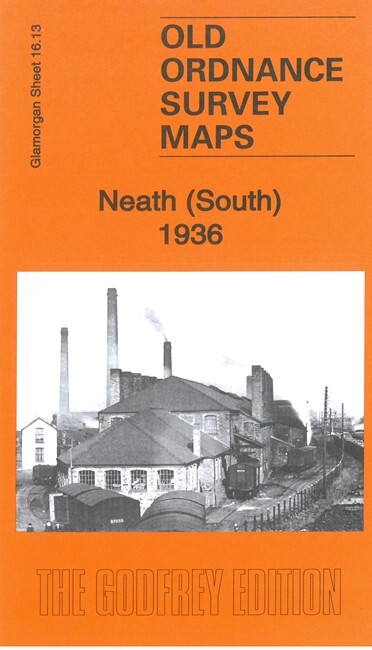
Neath (South) 1936 Glamorgan Sheet 16.13 by Steph Mastoris
USD 4.99 USD
Specifications
| Publication Year | 2022 |
| Type | Street Map/Directory |
| Author | Steph Mastoris |
| Publisher | Alan Godfrey Maps |
| Topic | Local History |
| Subject | History |
| Country Of Origin | United Kingdom |
| ISBN | 9781787215917 |
This very detailed map covers the southern part of Neath with coverage stretching from King Street and Wellfield Square southward to Cupola Wood. Features include portions of the Neath Canal and GWR railway; Penrhiwtyn Infirmary, Pencaerau, Melin Crythan, Cimla, tuberculosis hospital, Cimla Common, St Joseph's RC Church, Mount Pleasant area with numerous streets of housing, Eaglesbush Tin Plate Works, other steel and tin plate works, Japan Works, railway sidings, Eaglesbush Foundry, etc
Related Items

Vtg Chevron Map Sacramento California 1975 StandardOil SameDayHandle & Fast USPS
Ordnance Survey Map – Landranger Series – No.132 NORTH WEST NORFOLK, KINGS LYNN

Rand McNally Today’s World Atlas Hardcover Table Book 1993 Revised Edition
Hulme: St George’s 1849: Manchester Sheet 37 (Old Ordnance Survey Maps of Manche

Vintage Second World War 1951 Ordnance Survey Map – Doncaster, WWII Map
Strabane, Lifford & Raphoe 1913 Irish One Inch Sheet 17 by Alan Godfrey

Vintage READING PANGBOURNE CAVERSHAM WOODLEY Geographia STREET MAP of c 1970

The Ordinance Survey Atlas of Great Britain 1982 Vintage Hardback Edition jb