
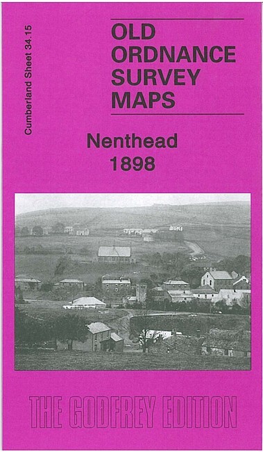
Nenthead 1898 Cumberland Sheet 34.15 by Alan Godfrey
USD 5.04 USD
Specifications
| Type | Street Map/Directory |
| Author | Alan Godfrey |
| Publisher | Alan Godfrey Maps |
| Topic | Local History |
| Subject | History |
| Country Of Origin | United Kingdom |
| ISBN | 9781847840578 |
This detailed map is double-sided for maximum coverage. The main map covers the northern part of the village, including Whitehall, Holmsfoot, Wellgill Dykehead, Brownleyhill Dressingfloor, Greenends, Foulard, and stretching east to Haggs Mine and Nentsberry.
Related Items

Rhossili Bay & Burry Port 1904 One Inch Sheet 246 by Derrick Pratt

Vintage OS One Inch Map -Pwllheli – Sheet 115 – 1947 – Ordnance Survey

Chesham 1923 Buvkinghamshire Sheet 39.09 by Pamela Taylor

Diss & District 1907 One Inch sheet 175 by Robert Malster

The AA Book of British Towns, 1979 1st Edition Drive Publications HB

(G54) Map of Swindon SN Postcode Sectors, Poster of Swindon Postcodes

BARTHOLOMEWS REVISED HALF INCH CONTOURED MAP.. EXMOOR Vintage 1950 Paper
Rhondda Valley & Pontypridd 1904-14 One Inch Sheet 248 by Derrick Pratt