
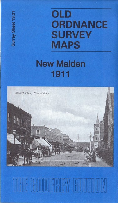
New Malden 1911 Surrey Sheet 13.01 by Richard Oliver
USD 4.99 USD
Specifications
| Type | Street Map/Directory |
| Author | Richard Oliver |
| Publisher | Alan Godfrey Maps |
| Topic | Local History |
| Subject | History |
| Country Of Origin | United Kingdom |
| ISBN | 9781787211131 |
This detailed map covers New Malden, with coverage stretching from Sycamore Grove southward to Thetford Road and Blakes Lane. Features include LSWR railway with New Malden station and junctions, tramway, Holy Trinity church, Christ Church, union Children's Home, Norbiton Pottery, Kingston Union Farm, Norbiton Common area, Wanderings Farm (NW corner of map), Norbiton Lodge, chapels, schools etc.
Related Items

Philip’s School Atlas 93rd Edition (Philip’s School Atlases) Soft back GOOD

Nefyn and District 1903: One Inch Sheet 1… by Pratt, Derrick Sheet map, folded

Brutalist Hong Kong Map / by Bob Pang (Sheet map, folded)

Ruislip (SE) 1940 Middlesex Sheet 10.14 by Peter Hounsell

OS Ordnance Survey Landranger Maps – Scotland – assorted good condit. 1976-1998

A Job Lot Of 5 Vintage Walking/Tourism Guides For Yorkshire Including Map

NEW Luckies of London Original World Scratch Map Travel Edition, 42 x 30cm
MIDLANDS LEICESTER OXON GLOS LANDRANGER OS ORDNANCE SURVEY MAPS JOB LOT BUNDLE