
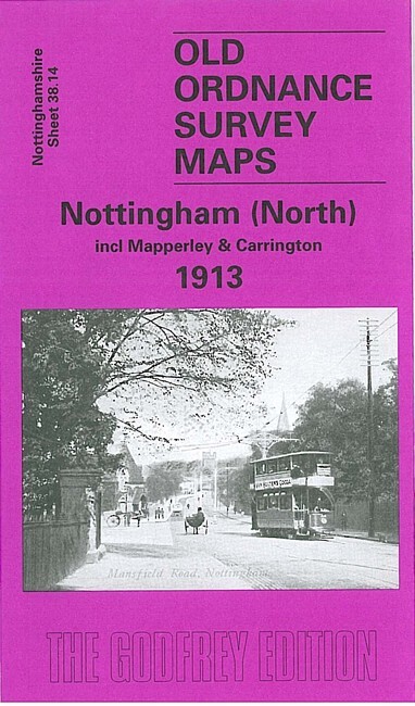
Nottingham (North) 1913 Nottinghamshire Sheet 38.14 by Ron Blake
USD 5.10 USD
Specifications
| Type | Street Map/Directory |
| Author | Ron Blake |
| Publisher | Alan Godfrey Maps |
| Topic | Local History |
| Subject | History |
| Country Of Origin | United Kingdom |
| ISBN | 9781841515502 |
This very detailed map covers the north part of Nottingham, including the Carrington area, much of Mapperley and Alexandra Park. Coverage stretches from Exeter Road eastward to The Wells Road, and from St Ann's Hill northward to Percival Road. Features include Forest House, tramways, Carrington station, Sherwood Hill Works, Forest Recreation Ground, Bellevue Reservoir, St John's church, Hungerhill Gardens, Stonepit Coppice Gardens, Alexandra Park area, Lunatic Asylum, Mapperley Hall, St Jude's church, Carrington Market Place etc. On the reverse we include street directory entries for Magdala Road, Redcliffe Road, Private Road, Sherwood Rise, Woodborough Road in 1902.
Related Items
Eton & Eton Wick 1899 Buckinghamshire sheet 56.05 by Judith Hunter

3 x O S landranger maps

Doncaster (East) 1928 Yorkshire Sheet 285.02 by Alan Godfrey
Penarth Docks or Penarth Town 1915 Glamorgan Sheets 47.07 & 47.11

2 x Bartholomew’s Vintage Maps Cornwall & South Wales

GeoBloco ALGARVE Touring Map (Sheet Map, pre 1999)

The Lake District OS Explorer Map: OL4 The English Lakes – By Ordnance Survey-17

Hampshire The South of the County, Past & Present