
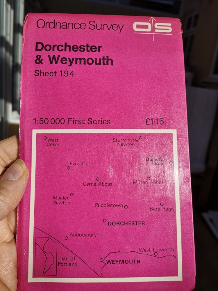

Ordnance Survey Landranger OS Map 194 Dorchester & Weymouth 1979 VGC
USD 5.22 USD
Specifications
| Publisher | Ordnance Survey |
| City | Dorchester And Weymouth |
| Publication Year | 1979 |
| Series | Landranger |
| Type | Hiking Map |
| Format | Folding Map |
| Language | English |
| Author | Ordnance Survey |
| Region | Great Britain |
| Country | United Kingdom |
| Map Scale | 1:50,000 |
| Country Of Origin | United Kingdom |
| Item Weight | 101 grams |
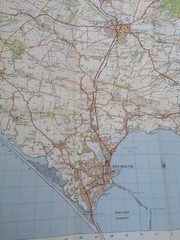
It includes the following information: tourist information, camping and caravan sites, picnic areas and viewpoints, selected places of interest and rights of way information for England and Wales. The important bit (the map that's inside) is clean, crisp and without tears or holes.
Related Items

c1907 Harmsworth Plate No. 205-206 Western Australia

Ordnance Survey Landranger Cheviot Hills And Kielder Forest Sheet 80

Vintage RAC Wangaratta District Map

Ordnance Survey – 1:50000 1st Srs Sheet 197 – Chichester & The Downs – 1974

The Penguin Historical Atlas of the Vikings

MAP OF MIRFIELD (SW) 1930 YORKSHIRE SHEET 247.05 NEW 9781847841070

1910 Gall & Inglis, 1/2” Waterproof Cloth Map No 35. – Carnarvon Section (Wales)

Freytag-Berndt North Rhine-Westphalia Sheet 8 Road Map 1:200 0 (Map) (UK IMPORT)