
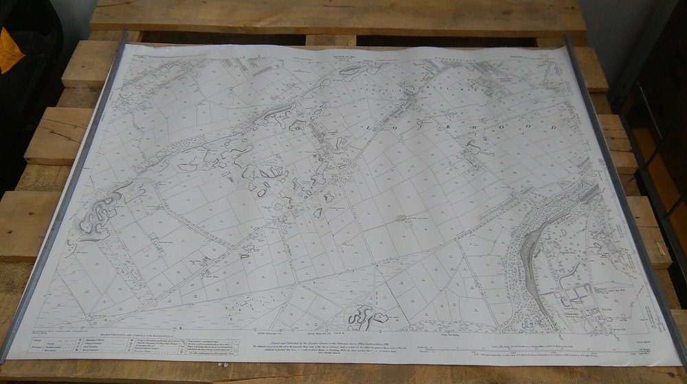
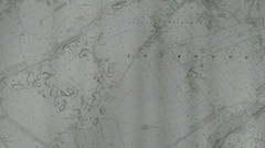
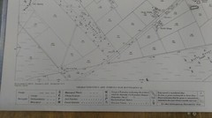
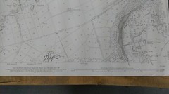
Ordnance Survey Map: Lockwood/Crosland, Sheet CCLX.2, 1916
USD 45.24 USD
Specifications
| Return Postage Will Be Paid By | Buyer |
| Returns Accepted | Returns Accepted |
| After Receiving The Item, Your Buyer Should Cancel The Purchase Within | 30 days |
| Series | Ordnance Survey |
| Type | Vintage Map |
| Publication Year | 1916 |
| Publisher | Ordnance Survey |
| Author | N/A |
| Publication Name | Ordnance Survey |
Ordnance Survey Map, printed on paper. Original printing, not a reprint. Scale: 1 : 2500. The map in the photo is the map you will receive. The map is stored rolled and will be posted out in a cardboard posting tube. The map is ex-public library and may have some library stamps or markings.
Related Items
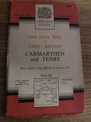
Ordanance Survey map 1” 7th Series – Carmarthen And Tenby- Published 1952

Ordnance Survey 10 inch cloth map Ancient Britain: South Sheet (1st Ed 1951)

Ordnance Survey One Inch Map – Stafford Sheet 119 – 1969

Colorado Atlas and Gazetteer by Delorme (Paperback)
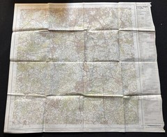
Ordnance Survey Landranger Map – Dorking, Reigate & Crawley – Sheet 187 – 1980
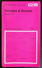
Ordnance Survey First Series Map, Sheet 173: Swindon & Devizes (1974).

Dorking Reigate and Crawley – OS Landranger 187 – Fold Out Map

Vintage Map Sheet Lympne Kent 1938 On “War Substitute Paper”